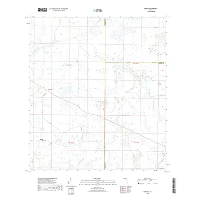
2018 Map of Edgeville
USGS Topo · Published 2018About this map
Edgeville and Sandy serve as the primary landmarks in this rural Florida landscape, situated at the crossroads of Manatee, Hardee, and DeSoto counties. This 2018 survey reveals a terrain defined by complex hydrography, where sluggish watercourses like Wildcat Slough and Bud Slough weave through low-lying ground. The interior is laced with a network of country roads, including Sugarbowl Rd and Clay Gully Rd, which connect the small settlements to agricultural hinterlands. Numerous small bodies of water, such as Dog Pond, Long Pond, and Roxy Pond, are scattered across the quadrangle, illustrating the natural drainage patterns of the Gulf Coastal Lowlands. The area's water network is further defined by seasonal flows like Sand Br and Buzzard Roost Br, which feed into larger systems such as Owen Cr.
Find a feature on this map
29 named features on this map. Tap any name to fly to it.
Don’t see what you’re looking for? This feature index may not catch every label — zoom into the map to look around manually.
Map Details
Editions of this 2018 Edgeville Map
This is the sole edition of this map. No revisions or reprints were ever made.
Other maps of this area
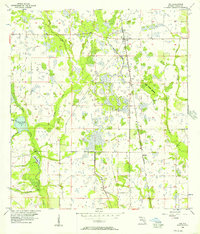
1956 · Ona
USGS Topo · 1:24,000
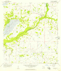
1956 · Myakka City
USGS Topo · 1:24,000
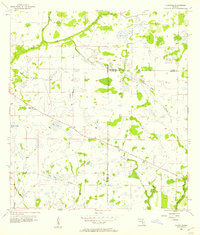
1956 · Edgeville
USGS Topo · 1:24,000
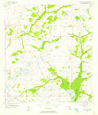
1956 · Myakka City NW
USGS Topo · 1:24,000
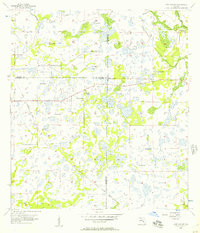
1956 · Murdock NE
USGS Topo · 1:24,000
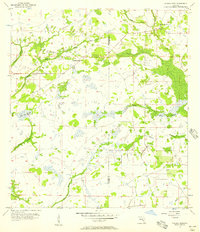
1956 · Myakka Head
USGS Topo · 1:24,000
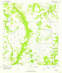
1956 · Limestone
USGS Topo · 1:24,000
1956 · Nocatee
USGS Topo · 1:24,000
1956 · Murdock NW
USGS Topo · 1:24,000
1956 · Tampa
USGS Topo · 1:250,000