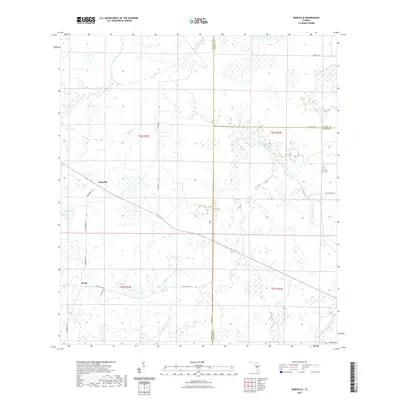
2021 Map of Edgeville
USGS Topo · Published 2021About this map
Edgeville and Sandy serve as the primary focal points of this interior Florida landscape, where the boundaries of Manatee, Hardee, and DeSoto counties converge. The terrain is defined by a complex drainage network characterized by seasonal water bodies and winding sloughs. Significant waterways including Bull Slough and Wildcat Slough flow through the southern portion of the quadrangle, while Owen Cr and Sand Br drain the northern reaches.
Find a feature on this map
27 named features on this map. Tap any name to fly to it.
Don’t see what you’re looking for? This feature index may not catch every label — zoom into the map to look around manually.
Map Details
Editions of this 2021 Edgeville Map
This is the sole edition of this map. No revisions or reprints were ever made.
Other maps of this area

1956 · Ona
USGS Topo · 1:24,000

1956 · Myakka City
USGS Topo · 1:24,000

1956 · Edgeville
USGS Topo · 1:24,000

1956 · Myakka City NW
USGS Topo · 1:24,000

1956 · Murdock NE
USGS Topo · 1:24,000

1956 · Myakka Head
USGS Topo · 1:24,000

1956 · Limestone
USGS Topo · 1:24,000

1956 · Nocatee
USGS Topo · 1:24,000

1956 · Murdock NW
USGS Topo · 1:24,000

1956 · Tampa
USGS Topo · 1:250,000