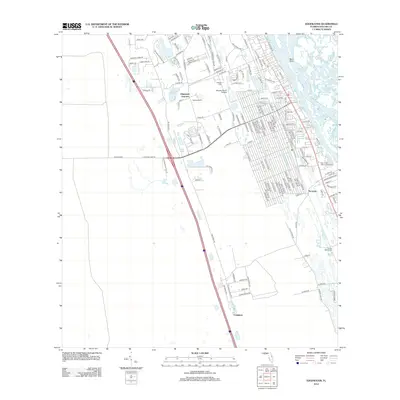
2012 Map of Edgewater
USGS Topo · Published 2012About this map
Indian River North and its intricate coastal waterways dominate the eastern edge of this 2012 survey, where Snake Creek, Potts Creek, and Elwinder Creek weave through Pine Island Bay. The map documents the inland expansion of Edgewater, centering on the residential corridors branching from Old Mission Rd and the transportation hub at Edgewater Junction.
Find a feature on this map
138 named features on this map. Tap any name to fly to it.
Don’t see what you’re looking for? This feature index may not catch every label — zoom into the map to look around manually.
Map Details
Editions of this 2012 Edgewater Map
This is the sole edition of this map. No revisions or reprints were ever made.
Other maps of this area

1937 · Port Orange
USGS Topo · 1:48,000

1943 · Port Orange
USGS Topo · 1:62,500

1944 · Port Orange
USGS Topo · 1:62,500

1949 · Oak Hill
USGS Topo · 1:24,000

1949 · Osceola
USGS Topo · 1:24,000

1950 · Maytown
USGS Topo · 1:24,000

1950 · Ariel
USGS Topo · 1:24,000

1950 · Edgewater
USGS Topo · 1:24,000

1952 · Samsula
USGS Topo · 1:24,000

1954 · Daytona Beach
USGS Topo · 1:250,000