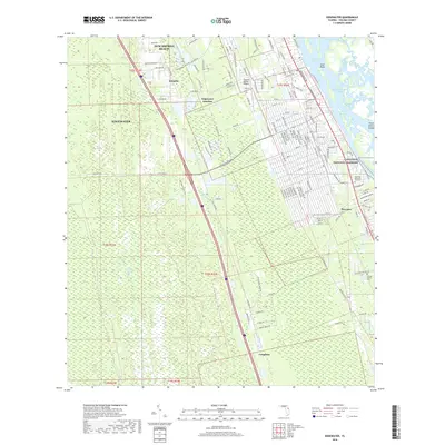
2018 Map of Edgewater
USGS Topo · Published 2018About this map
Indian River North and the Intracoastal Waterway define the eastern edge of this coastal landscape, where the barrier islands of Canaveral National Seashore protect the mainland. The area exhibits a complex network of man-made and natural water features, including the Edgewater Canal, Little Cow Cr, and the expansive Spruce Creek Swamp to the west. While residential development is concentrated in Edgewater and the southern reaches of New Smyrna Beach, the map also preserves the locations of smaller historical points of interest.
Find a feature on this map
140 named features on this map. Tap any name to fly to it.
Don’t see what you’re looking for? This feature index may not catch every label — zoom into the map to look around manually.
Map Details
Editions of this 2018 Edgewater Map
This is the sole edition of this map. No revisions or reprints were ever made.
Other maps of this area

1937 · Port Orange
USGS Topo · 1:48,000

1943 · Port Orange
USGS Topo · 1:62,500

1944 · Port Orange
USGS Topo · 1:62,500

1949 · Oak Hill
USGS Topo · 1:24,000

1949 · Osceola
USGS Topo · 1:24,000

1950 · Maytown
USGS Topo · 1:24,000

1950 · Ariel
USGS Topo · 1:24,000

1950 · Edgewater
USGS Topo · 1:24,000

1952 · Samsula
USGS Topo · 1:24,000

1954 · Daytona Beach
USGS Topo · 1:250,000