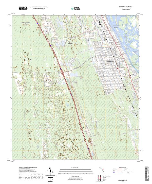
2024 Map of Edgewater
USGS Topo · Published 2024About this map
The coastal landscapes of Volusia County are defined here by the intricate waterways of the Indian River Lagoon Mosquito Lagoon and the Intracoastal Waterway. The city of Edgewater dominates the eastern corridor along Indian River North, showing a dense grid of residential expansion that reaches toward the Canaveral National Seashore. Further west, the terrain shifts into the expansive Spruce Creek Swamp, a contrast to the developed areas of New Smyrna Beach in the north.
Find a feature on this map
140 named features on this map. Tap any name to fly to it.
Don’t see what you’re looking for? This feature index may not catch every label — zoom into the map to look around manually.
Map Details
Editions of this 2024 Edgewater Map
This is the sole edition of this map. No revisions or reprints were ever made.
Other maps of this area

1937 · Port Orange
USGS Topo · 1:48,000

1943 · Port Orange
USGS Topo · 1:62,500

1944 · Port Orange
USGS Topo · 1:62,500

1949 · Oak Hill
USGS Topo · 1:24,000

1949 · Osceola
USGS Topo · 1:24,000

1950 · Maytown
USGS Topo · 1:24,000

1950 · Ariel
USGS Topo · 1:24,000

1950 · Edgewater
USGS Topo · 1:24,000

1952 · Samsula
USGS Topo · 1:24,000

1954 · Daytona Beach
USGS Topo · 1:250,000