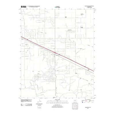
2010 Map of Edgewood
USGS Topo · Published 2010About this map
Edgewood serves as the central hub of this Santa Fe County landscape, where modern aviation and historical land use intersect. The town's growth is anchored by the Edgewood Post Office and surrounded by a network of family-held properties including the Bassett Ranch, Briggs Place, and Blackwell Place. To the south, the topography descends into Cañon de Gallegos and Juan Tomas Canyon, while the presence of the La Don Mine and the Tina Barite Deposit near Tina point to the area's geological and mineral resources. Local history is preserved at the Mountain Valley Cemetery and the YMCA Camp, while aviation enthusiasts are served by facilities like the New Mexico Soaring Ranch Airport and Sandia Airpark Estates East Airport. The map documents a transition from traditional ranching toward residential expansion along the corridor near Barton.
Find a feature on this map
103 named features on this map. Tap any name to fly to it.
Don’t see what you’re looking for? This feature index may not catch every label — zoom into the map to look around manually.
Map Details
Editions of this 2010 Edgewood Map
This is the sole edition of this map. No revisions or reprints were ever made.
Other maps of this area

1892 · San Pedro
USGS Topo · 1:125,000

1917 · Estancia
USGS Topo · 1:125,000

1954 · Chilili
USGS Topo · 1:24,000

1954 · Sandia Park
USGS Topo · 1:24,000

1954 · San Pedro
USGS Topo · 1:24,000

1954 · Sedillo
USGS Topo · 1:24,000

1954 · Escabosa
USGS Topo · 1:24,000

1954 · Edgewood
USGS Topo · 1:24,000

1954 · Socorro
USGS Topo · 1:250,000

1956 · Edgewood
USGS Topo · 1:62,500