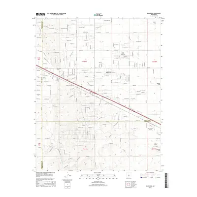
2017 Map of Edgewood
USGS Topo · Published 2017About this map
Edgewood serves as the focal point of this high-desert landscape where Santa Fe, Bernalillo, and Torrance counties converge. The mapping shows a transition from the rugged topography of Juan-Tomas Canyon and Arroyo de San Jose into the expanding residential developments of Sandia Airpark Estates East and Homes Valley. Tracing the path of Old Rte 66, the map reveals how historic transportation corridors continue to shape the community's layout alongside modern frontage roads. Local history is anchored by the Mountain Valley Cem near Barton, while the surrounding terrain is defined by dramatic drainage features such as Bachelor Draw, Cañon de Gallegos, and Woodman Draw. The land is organized by an extensive network of county roads, including Co RD 12a and Co RD 7, which navigate the varying elevations of the East Mountain region.
Find a feature on this map
209 named features on this map. Tap any name to fly to it.
Don’t see what you’re looking for? This feature index may not catch every label — zoom into the map to look around manually.
Map Details
Editions of this 2017 Edgewood Map
This is the sole edition of this map. No revisions or reprints were ever made.
Other maps of this area

1892 · San Pedro
USGS Topo · 1:125,000

1917 · Estancia
USGS Topo · 1:125,000

1954 · Chilili
USGS Topo · 1:24,000

1954 · Sandia Park
USGS Topo · 1:24,000

1954 · San Pedro
USGS Topo · 1:24,000

1954 · Sedillo
USGS Topo · 1:24,000

1954 · Escabosa
USGS Topo · 1:24,000

1954 · Edgewood
USGS Topo · 1:24,000

1954 · Socorro
USGS Topo · 1:250,000

1956 · Edgewood
USGS Topo · 1:62,500