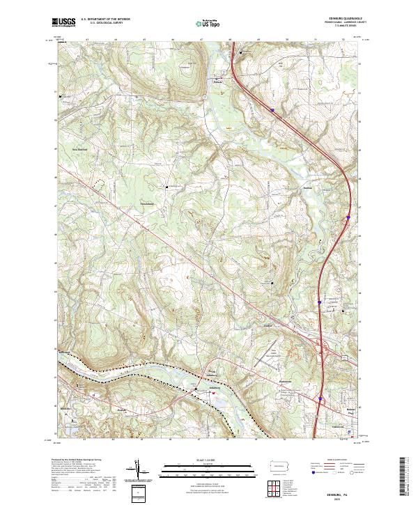
2023 Map of Edinburg
USGS Topo · Published 2023About this map
The Mahoning River and Shenango River converge in this western Lawrence County landscape, defining a terrain of river valleys and elevated points like High Hill and Bird Hill. The region is marked by a dense network of small settlements and neighborhood clusters including Edinburg, Pulaski, Frizzleburg, and the uniquely named Peanut. These communities are often anchored by long-standing local landmarks such as Ashton Cem and Harbor Church Cem.
Find a feature on this map
133 named features on this map. Tap any name to fly to it.
Don’t see what you’re looking for? This feature index may not catch every label — zoom into the map to look around manually.
Map Details
Editions of this 2023 Edinburg Map
This is the sole edition of this map. No revisions or reprints were ever made.
Historical Maps of Wilmington Township Through Time
10 maps found

1905 Neshannock
Lawrence County, PA
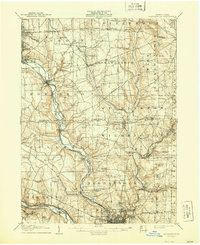
1907 Neshannock
Lawrence County, PA
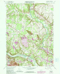
1958 Edinburg
Lawrence County, PA
1958 New Castle North
Lawrence County, PA
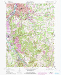
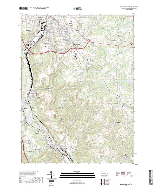
1958 New Castle South
Lawrence County, PA
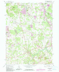
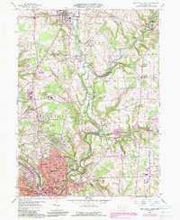
1961 Harlansburg
Lawrence County, PA
2023 Edinburg
Lawrence County, PA
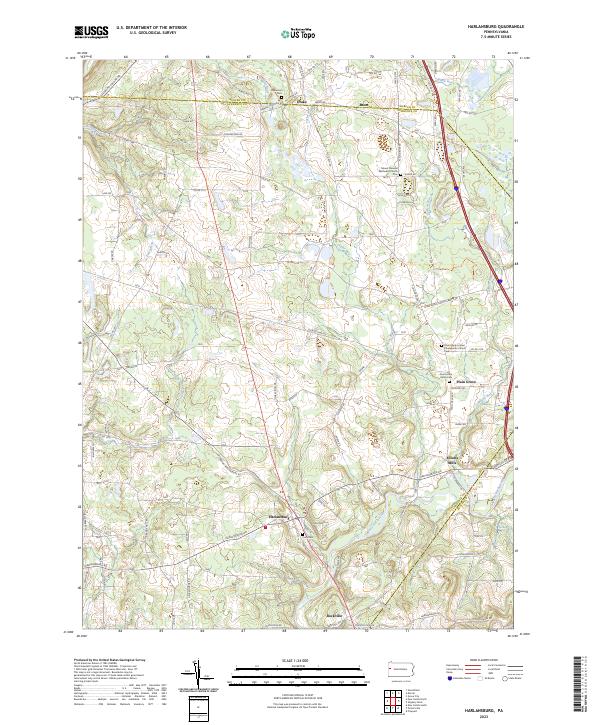
2023 Harlansburg
Lawrence County, PA
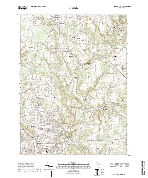
2023 New Castle North
Lawrence County, PA
2023 New Castle South
Lawrence County, PA
Featured Locations
- Union Township, PA
- Neshannock Township, PA
- Wilmington Township, PA
- Pulaski Township, PA
- Frizzleburg, Pulaski Township