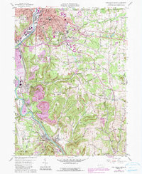
1958 Map of New Castle South
USGS Topo · Published 1990About this map
New Castle and its southern industrial corridors dominate this mid-century landscape, where the confluence of Neshannock Creek and the Shenandoah River meets a dense network of heavy rail. The presence of the Pittsburgh and Lake Erie RR, Baltimore and Ohio RR, and Pennsylvania RR highlights the region's importance as a transportation hub. Beyond the city limits, the terrain transitions into a patchwork of rural settlements and extractive industries, with significant topographic detail showing the impact of a Reclaimed Strip Mine and multiple Quarry sites near West Pittsburg and Wampum.
Find a feature on this map
82 named features on this map. Tap any name to fly to it.
Don’t see what you’re looking for? This feature index may not catch every label — zoom into the map to look around manually.
Map Details
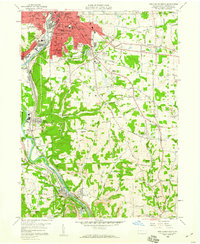
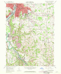
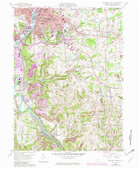
Editions of this 1958 New Castle South Map
4 editions found
Other maps of this area

1902 · New Castle
USGS Topo · 1:62,500

1904 · Newcastle
USGS Topo · 1:62,500

1905 · Neshannock
USGS Topo · 1:62,500

1907 · Neshannock
USGS Topo · 1:62,500

1908 · Zelienople
USGS Topo · 1:62,500

1910 · Zelienople
USGS Topo · 1:62,500

1913 · Mercer
USGS Topo · 1:62,500

1939 · Mercer
USGS Topo · 1:62,500

1943 · Mercer
USGS Topo · 1:62,500

1950 · Cleveland
USGS Topo · 1:250,000