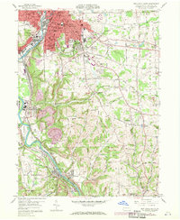
1958 Map of New Castle South
USGS Topo · Published 1971About this map
Industrial corridors along the Beaver River and Shenango River dominate this landscape south of New Castle during the mid-20th century. The region is a dense network of transportation and heavy industry, where the Penn Central, Baltimore and Ohio, and Pittsburgh and Lake Erie railroads converge at New Castle Junction. In addition to the urban core of South New Castle, smaller settlements like West Pittsburg, Wampum, and Chewton are interconnected by these rail lines and several high-relief ridges, including Fletcher Hill and Sankey Hill.
Find a feature on this map
78 named features on this map. Tap any name to fly to it.
Don’t see what you’re looking for? This feature index may not catch every label — zoom into the map to look around manually.
Map Details
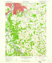
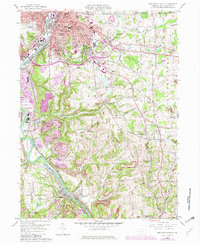
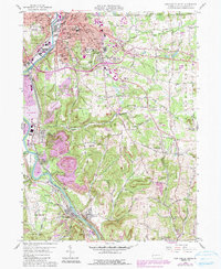
Editions of this 1958 New Castle South Map
4 editions found
Other maps of this area

1902 · New Castle
USGS Topo · 1:62,500

1904 · Newcastle
USGS Topo · 1:62,500

1905 · Neshannock
USGS Topo · 1:62,500

1907 · Neshannock
USGS Topo · 1:62,500

1908 · Zelienople
USGS Topo · 1:62,500

1910 · Zelienople
USGS Topo · 1:62,500

1913 · Mercer
USGS Topo · 1:62,500

1939 · Mercer
USGS Topo · 1:62,500

1943 · Mercer
USGS Topo · 1:62,500

1950 · Cleveland
USGS Topo · 1:250,000