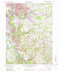
1958 Map of New Castle South
USGS Topo · Published 1980About this map
The industrial and riverine corridors south of New Castle define this landscape, where the Shenango River and Beaver River facilitate a dense network of transportation and heavy industry. The map captures the prominence of rail logistics during the mid-century, with the Baltimore and Ohio RR and Pittsburgh and Lake Erie RR converging at New Castle Junction. Local settlement patterns are clearly visible in the residential grids of South New Castle and Mahoningtown, while the outlying areas show the development of community institutions like Greenwood Sch and Rural Hill Sch. The mapping of Numerous religious and civic sites, including the St Vitus Cem and the Courthouse downtown, provides a detailed record of the social infrastructure supporting the region's steel and manufacturing base. In the southern reaches, the river valley narrows near Wampum and Chewton, where the proximity of a Quarry indicates the area's reliance on mineral extraction.
Find a feature on this map
71 named features on this map. Tap any name to fly to it.
Don’t see what you’re looking for? This feature index may not catch every label — zoom into the map to look around manually.
Map Details
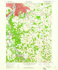
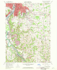
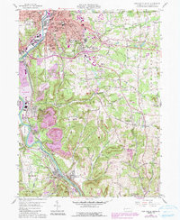
Editions of this 1958 New Castle South Map
4 editions found
Other maps of this area

1902 · New Castle
USGS Topo · 1:62,500

1904 · Newcastle
USGS Topo · 1:62,500

1905 · Neshannock
USGS Topo · 1:62,500

1907 · Neshannock
USGS Topo · 1:62,500

1908 · Zelienople
USGS Topo · 1:62,500

1910 · Zelienople
USGS Topo · 1:62,500

1913 · Mercer
USGS Topo · 1:62,500

1939 · Mercer
USGS Topo · 1:62,500

1943 · Mercer
USGS Topo · 1:62,500

1950 · Cleveland
USGS Topo · 1:250,000