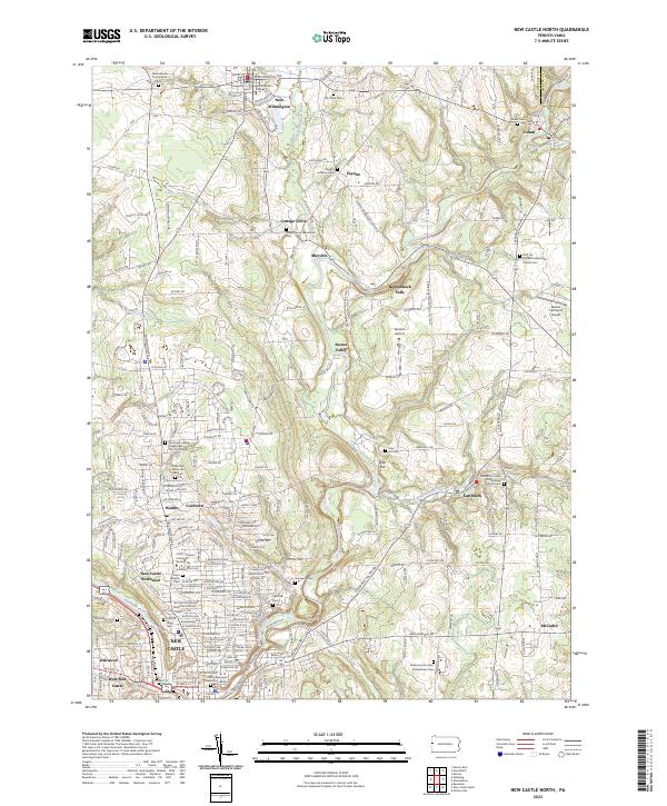
2023 Map of New Castle North
USGS Topo · Published 2023About this map
Westminster College stands at the northern edge of this Pennsylvania landscape, anchoring the borough of New Wilmington. The terrain follows the winding path of Neshannock Creek and its tributaries, such as Little Neshannock Creek and Hottenbaugh Run, which defined the early settlement patterns of rural villages like Fayette, Volant, and Eastbrook. The density of the landscape increases to the south as it approaches the city of New Castle, showing the transition from agricultural land to the residential and industrial corridors of Walmo and Coaltown.
Find a feature on this map
150 named features on this map. Tap any name to fly to it.
Don’t see what you’re looking for? This feature index may not catch every label — zoom into the map to look around manually.
Map Details
Editions of this 2023 New Castle North Map
This is the sole edition of this map. No revisions or reprints were ever made.
Other maps of this area

1902 · New Castle
USGS Topo · 1:62,500

1904 · Newcastle
USGS Topo · 1:62,500

1905 · Neshannock
USGS Topo · 1:62,500

1907 · Neshannock
USGS Topo · 1:62,500

1908 · Zelienople
USGS Topo · 1:62,500

1910 · Zelienople
USGS Topo · 1:62,500

1913 · Mercer
USGS Topo · 1:62,500

1939 · Mercer
USGS Topo · 1:62,500

1943 · Mercer
USGS Topo · 1:62,500

1950 · Cleveland
USGS Topo · 1:250,000