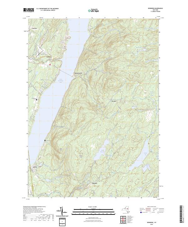
2023 Map of Edinburg
USGS Topo · Published 2023About this map
Great Sacandaga Lake dominates the western half of this landscape, its expansive waters meeting the shore near the historic settlements of Edinburg and Batchellerville. This area reveals a transition from the lower lake basin to the higher elevations of the Adirondack foothills, where small vly and swamp systems like Blodgett Vly and Thousand Acre Swamp pocket the upland terrain. Genealogists and local historians can locate early burial sites at Partridge Cem and Anderson Cem, which sit along the winding S Shore Rd.
Find a feature on this map
75 named features on this map. Tap any name to fly to it.
Don’t see what you’re looking for? This feature index may not catch every label — zoom into the map to look around manually.
Map Details
Editions of this 2023 Edinburg Map
This is the sole edition of this map. No revisions or reprints were ever made.
Other maps of this area

1899 · Broadalbin
USGS Topo · 1:62,500

1902 · Broadalbin
USGS Topo · 1:62,500

1902 · Saratoga
USGS Topo · 1:62,500

1903 · Luzerne
USGS Topo · 1:62,500

1910 · Stony Creek
USGS Topo · 1:62,500

1935 · Middle Grove
USGS Topo · 1:24,000

1942 · Saratoga
USGS Topo · 1:62,500

1945 · Edinburg
USGS Topo · 1:24,000
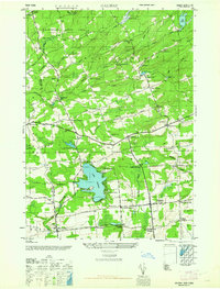
1945 · Galway
USGS Topo · 1:24,000

1945 · Northville
USGS Topo · 1:24,000