
1945 Map of Edinburg
USGS Topo · Published 1962About this map
Sacandaga Reservoir River dominates the western corridor of this mid-century survey, bisecting the landscape between Edinburg and Batchellerville. This area of the southern Adirondack State Park shows a mix of established lakeside settlements and the rugged, marshy interior of the town of Providence. Local history is preserved through the locations of several burial grounds, including Edinburg Cem, Partridge Cem, and Brookl Cem, alongside rural landmarks like School No 1.
Find a feature on this map
44 named features on this map. Tap any name to fly to it.
Don’t see what you’re looking for? This feature index may not catch every label — zoom into the map to look around manually.
Map Details
Editions of this 1945 Edinburg Map
This is the sole edition of this map. No revisions or reprints were ever made.
Other maps of this area

1899 · Broadalbin
USGS Topo · 1:62,500

1902 · Broadalbin
USGS Topo · 1:62,500

1902 · Saratoga
USGS Topo · 1:62,500

1903 · Luzerne
USGS Topo · 1:62,500

1910 · Stony Creek
USGS Topo · 1:62,500

1935 · Middle Grove
USGS Topo · 1:24,000

1942 · Saratoga
USGS Topo · 1:62,500
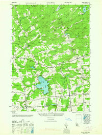
1945 · Galway
USGS Topo · 1:24,000

1945 · Northville
USGS Topo · 1:24,000
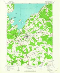
1945 · Broadalbin
USGS Topo · 1:24,000