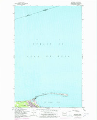
1961 Map of Ediz Hook
USGS Topo · Published 1978About this map
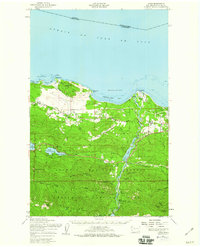
Ediz Hook dominates this coastal survey, forming a natural breakwater that shelters the deep-water Port Angeles Harbor from the waves of the Strait of Juan de Fuca. The map illustrates a pivotal era for the Clallam County waterfront, showing the transition between maritime tradition and industrial logistics. A Coast Guard Sta stands at the tip of the spit, while the landward side features the Chicago Milwaukee St Paul and Pacific rail line and an Old Railroad Grade that speaks to earlier transit routes. In the city of Port Angeles, the residential and commercial grid meets the shoreline at The Lagoon, providing a detailed look at the urban boundary and local infrastructure like 18th St as they existed during the mid-to-late twentieth century.
Find a feature on this map
12 named features on this map. Tap any name to fly to it.
Don’t see what you’re looking for? This feature index may not catch every label — zoom into the map to look around manually.
Map Details
Editions of this 1961 Ediz Hook Map
2 editions found
Other maps of this area

1918 · Port Angeles
USGS Topo · 1:62,500

1919 · Port Crescent
USGS Topo · 1:62,500

1941 · Port Angeles
USGS Topo · 1:62,500

1950 · Elwha
USGS Topo · 1:24,000

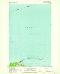
1950 · Ediz Hook
USGS Topo · 1:24,000
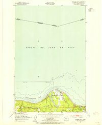
1950 · Angeles Point
USGS Topo · 1:24,000
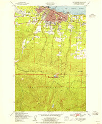
1950 · Port Angeles
USGS Topo · 1:24,000
1950 · Joyce
USGS Topo · 1:62,500
1956 · Morse Creek
USGS Topo · 1:24,000

1957 · Victoria
USGS Topo · 1:250,000