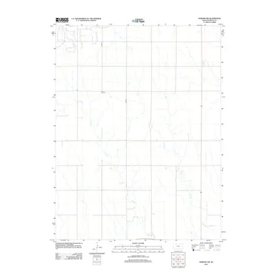
2012 Map of Edmond NW
USGS Topo · Published 2012About this map
Prairie Gem Cem sits at the heart of this agricultural landscape in Norton County, marking a quiet point of historical continuity in a region defined by its sections and creek drainages. The terrain is structured by a network of drainage ways including E Elk Cr and Sand Cr, which cut through the high plains to create the subtle relief characteristic of the northwestern Kansas prairie. This 2012 survey documents a rural environment where land use is dominated by large-scale farming and ranching, evidenced by the regular grid of local routes like Road W-3 and Road W-4. The placement of the cemetery and the meandering paths of the creeks provide the primary landmarks for family historians tracing roots in this sparsely populated section of the state.
Find a feature on this map
6 named features on this map. Tap any name to fly to it.
Don’t see what you’re looking for? This feature index may not catch every label — zoom into the map to look around manually.
Map Details
Editions of this 2012 Edmond NW Map
This is the sole edition of this map. No revisions or reprints were ever made.
Other maps of this area

1893 · Norton
USGS Topo · 1:125,000

1951 · Norton
USGS Topo · 1:62,500

1951 · Norcatur
USGS Topo · 1:62,500

1954 · Goodland
USGS Topo · 1:250,000

1955 · Beloit
USGS Topo · 1:250,000

1956 · Goodland
USGS Topo · 1:250,000

1957 · Goodland
USGS Topo · 1:250,000

1959 · Beloit
USGS Topo · 1:250,000
1978 · Calvert
USGS Topo · 1:24,000

1978 · Edmond
USGS Topo · 1:24,000