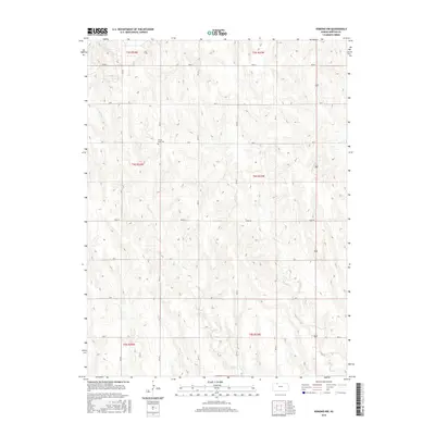
2015 Map of Edmond NW
USGS Topo · Published 2015About this map
Prairie Gem Cem stands as a quiet landmark amidst the vast agricultural sections of Norton County, providing a vital point of reference for genealogists and local historians. This corner of Kansas is defined by the grid of the Public Land Survey System, with township boundaries like t4s r23w and t4s r24w organizing the landscape into productive squares. The drainage patterns of the High Plains are evident here through the winding courses of Sand Creek and E Elk Creek, which carve subtle relief into the terrain. A systematic network of rural routes, including Road S and Road W, connects these family farms and fields, maintaining the same spatial logic established by early settlers. This survey reflects the enduring rural character of the region, where the intersection of water, road, and cemetery marks the history of the land.
Find a feature on this map
21 named features on this map. Tap any name to fly to it.
Don’t see what you’re looking for? This feature index may not catch every label — zoom into the map to look around manually.
Map Details
Editions of this 2015 Edmond NW Map
This is the sole edition of this map. No revisions or reprints were ever made.
Other maps of this area
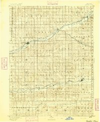
1893 · Norton
USGS Topo · 1:125,000
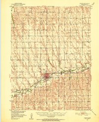
1951 · Norton
USGS Topo · 1:62,500
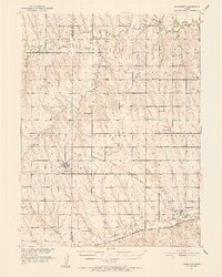
1951 · Norcatur
USGS Topo · 1:62,500

1954 · Goodland
USGS Topo · 1:250,000
1955 · Beloit
USGS Topo · 1:250,000

1956 · Goodland
USGS Topo · 1:250,000

1957 · Goodland
USGS Topo · 1:250,000
1959 · Beloit
USGS Topo · 1:250,000
1978 · Calvert
USGS Topo · 1:24,000
1978 · Edmond
USGS Topo · 1:24,000