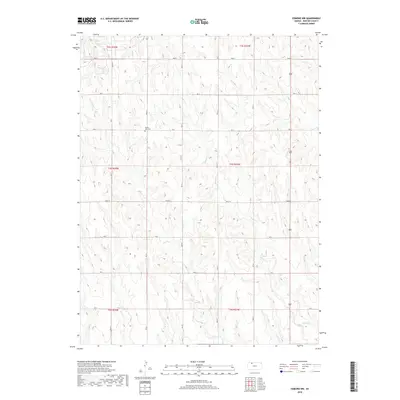
2018 Map of Edmond NW
USGS Topo · Published 2018About this map
Prairie Gem Cem stands as a quiet landmark on the rural landscape of Norton County, situated amongst a network of section-line roads that define the region's agricultural character. This terrain is drained by the winding courses of E Elk Cr and Sand Cr, which cut through the high plains topography. The map illustrates a strictly organized grid system, with designated routes such as Road S, Rd U, and Rd Z facilitating movement across the expansive townships of t3s r24w and t4s r23w. The absence of dense town sites highlights the area's dedication to large-scale ranching and farming, where geography is marked primarily by these watercourses and solitary local cemeteries.
Find a feature on this map
16 named features on this map. Tap any name to fly to it.
Don’t see what you’re looking for? This feature index may not catch every label — zoom into the map to look around manually.
Map Details
Editions of this 2018 Edmond NW Map
This is the sole edition of this map. No revisions or reprints were ever made.
Other maps of this area
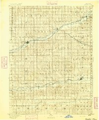
1893 · Norton
USGS Topo · 1:125,000
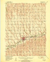
1951 · Norton
USGS Topo · 1:62,500
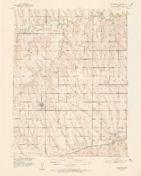
1951 · Norcatur
USGS Topo · 1:62,500

1954 · Goodland
USGS Topo · 1:250,000
1955 · Beloit
USGS Topo · 1:250,000

1956 · Goodland
USGS Topo · 1:250,000

1957 · Goodland
USGS Topo · 1:250,000
1959 · Beloit
USGS Topo · 1:250,000
1978 · Calvert
USGS Topo · 1:24,000
1978 · Edmond
USGS Topo · 1:24,000