Loading...
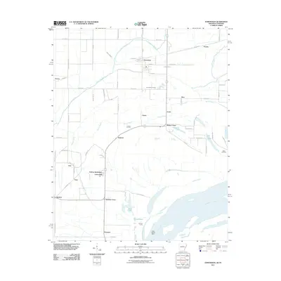
Loading map...1981 Map of Edmondson
USGS Topo · Published 1982About this map
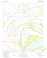
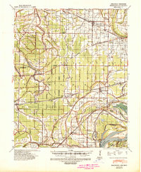
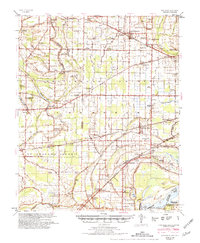
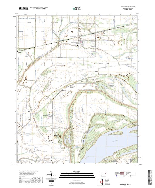
Edmondson and Proctor serve as the primary nodes of settlement in this Crittenden County landscape, situated just west of the Mississippi River. The terrain is defined by an intricate network of waterways including Tenmile Bayou, Fifteenmile Bayou, and Kate Bayou, which weave through the agricultural flats. This 1981 survey illustrates the rural community life of the era through a high density of country churches such as New Bethlehem Ch, New Bethel Ch, and Truevine Ch.
Find a feature on this map
47 named features on this map. Tap any name to fly to it.
Don’t see what you’re looking for? This feature index may not catch every label — zoom into the map to look around manually.
Map Details
Date Portrayed1981
Date Published1982
PublisherU.S. Geological Survey
Map TypeTopographic
Scale1:24,000
Physical Dimensions22 x 26.7 inches
Editions of this 1981 Edmondson Map
This is the sole edition of this map. No revisions or reprints were ever made.
Historical Maps of Memphis Through Time
8 maps found
Featured Locations
Source Details
SourceU.S. Geological Survey
CopyrightPublic Domain