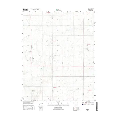
2015 Map of Edna
USGS Topo · Published 2015About this map
The agricultural community of Edna serves as the focal point of this Labette County survey, where a rigid grid of country roads divides the landscape into traditional sections. Several smaller waterways, including Hackberry Creek, Elm Cr, and Deer Cr, wind through the terrain, occasionally breaking the geometric precision of the section lines. This document provides valuable data for those tracing local family history, as it clearly locates three distinct burial sites: Edna Cem, the Mcclintock Kingston Cem, and the Lucas Cem. The road network is particularly well-documented, featuring thoroughfares like Jackson Rd, Kiowa Rd, and Ness Rd that connected rural farmsteads to the town center. Within Edna itself, the street layout includes N Labette St and N Marks Ave, illustrating the town's localized growth.
Find a feature on this map
45 named features on this map. Tap any name to fly to it.
Don’t see what you’re looking for? This feature index may not catch every label — zoom into the map to look around manually.
Map Details
Editions of this 2015 Edna Map
This is the sole edition of this map. No revisions or reprints were ever made.
Other maps of this area
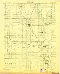
1886 · Parsons
USGS Topo · 1:125,000
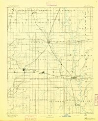
1893 · Parsons
USGS Topo · 1:125,000
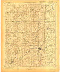
1901 · Vinita
USGS Topo · 1:125,000
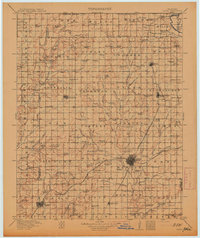
1913 · Vinita
USGS Topo · 1:125,000
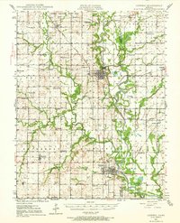
1944 · Oswego
USGS Topo · 1:62,500
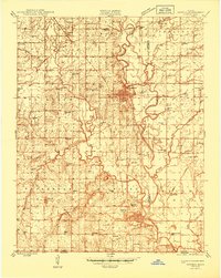
1946 · Oswego
USGS Topo · 1:48,000
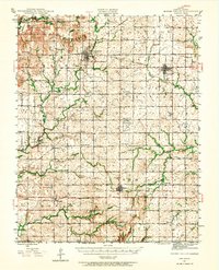
1946 · Mound Valley
USGS Topo · 1:62,500

1947 · Joplin
USGS Topo · 1:250,000
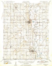
1948 · Oswego
USGS Topo · 1:62,500
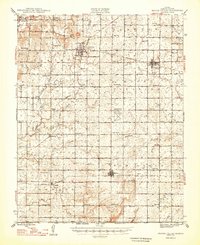
1948 · Mound Valley
USGS Topo · 1:62,500