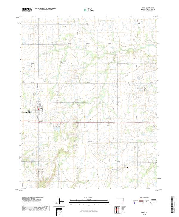
2022 Map of Edna
USGS Topo · Published 2022About this map
The city of Edna sits at a geographic crossroads in southwestern Labette County, organized around a tight grid including N Marks Ave and S Delaware St. The landscape is defined by the dendritic drainage patterns of Hackberry Creek and Big Cr, carving low-lying paths through the agricultural sections of Townships 33, 34, and 35 South. For genealogists and local historians, several burial sites are preserved across the sections, including the central Edna Cem, the rural Mcclintock Kingston Cem near Snow Cr, and Lucas Cem to the southeast. These landmarks, along with a system of section-line roads like Jackson Rd and Kiowa Rd, illustrate the enduring settlement patterns of this Kansas prairie region.
Find a feature on this map
44 named features on this map. Tap any name to fly to it.
Don’t see what you’re looking for? This feature index may not catch every label — zoom into the map to look around manually.
Map Details
Editions of this 2022 Edna Map
This is the sole edition of this map. No revisions or reprints were ever made.
Other maps of this area

1886 · Parsons
USGS Topo · 1:125,000

1893 · Parsons
USGS Topo · 1:125,000

1901 · Vinita
USGS Topo · 1:125,000

1913 · Vinita
USGS Topo · 1:125,000

1944 · Oswego
USGS Topo · 1:62,500

1946 · Oswego
USGS Topo · 1:48,000

1946 · Mound Valley
USGS Topo · 1:62,500

1947 · Joplin
USGS Topo · 1:250,000
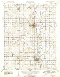
1948 · Oswego
USGS Topo · 1:62,500
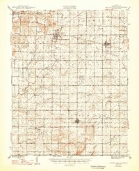
1948 · Mound Valley
USGS Topo · 1:62,500