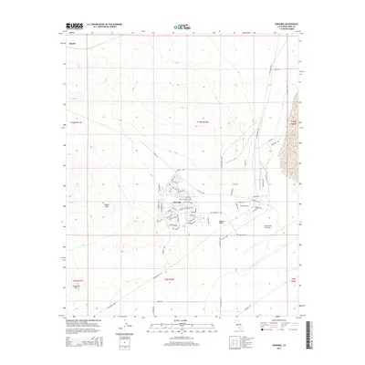
2015 Map of Edwards
USGS Topo · Published 2015About this map
Edwards Air Force Base dominates this portion of the Mojave Desert, serving as a focal point for aerospace history and military infrastructure. The residential and administrative core of Edwards is meticulously detailed, with streets named in honor of aviation pioneers, including Lindbergh Ave, Yeager Blvd, Doolittle Pky, and Rickenbacker Dr. These thoroughfares form the heart of the base's community, situated just north of W Fitzgerald Blvd.
Find a feature on this map
64 named features on this map. Tap any name to fly to it.
Don’t see what you’re looking for? This feature index may not catch every label — zoom into the map to look around manually.
Map Details
Editions of this 2015 Edwards Map
This is the sole edition of this map. No revisions or reprints were ever made.
Other maps of this area
1915 · Elizabeth Lake
USGS Topo · 1:125,000
1915 · Searles Lake
USGS Topo · 1:250,000
1915 · Mojave
USGS Topo · 1:125,000
1917 · Elizabeth Lake
USGS Topo · 1:125,000
1937 · Rogers Lake
USGS Topo · 1:48,000
1942 · Rogers Lake
USGS Topo · 1:62,500
1943 · Rosamond
USGS Topo · 1:62,500
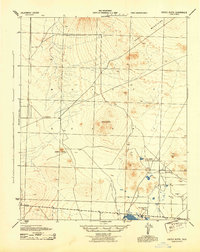
1943 · Castle Butte
USGS Topo · 1:62,500
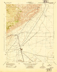
1943 · Mojave
USGS Topo · 1:62,500
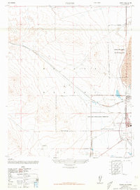
1947 · Fluhr
USGS Topo · 1:24,000