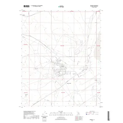
2018 Map of Edwards
USGS Topo · Published 2018About this map
Edwards serves as the focal point of this high-desert landscape, situated within the expansive Mojave Desert terrain. The settlement’s identity is inextricably linked to the surrounding Edwards AFB installations, with many street names reflecting aviation heritage, such as Lindbergh Dr, Rickenbacker Dr, Falcon Way, and Blackbird St. These residential and operational corridors are organized around major thoroughfares like Fitzgerald Blvd.
Find a feature on this map
67 named features on this map. Tap any name to fly to it.
Don’t see what you’re looking for? This feature index may not catch every label — zoom into the map to look around manually.
Map Details
Editions of this 2018 Edwards Map
This is the sole edition of this map. No revisions or reprints were ever made.
Other maps of this area
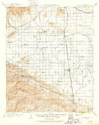
1915 · Elizabeth Lake
USGS Topo · 1:125,000
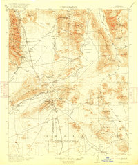
1915 · Searles Lake
USGS Topo · 1:250,000
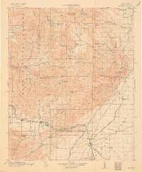
1915 · Mojave
USGS Topo · 1:125,000
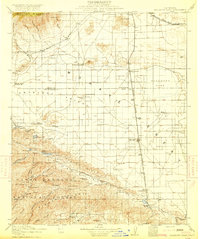
1917 · Elizabeth Lake
USGS Topo · 1:125,000
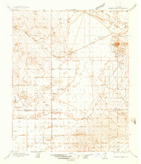
1937 · Rogers Lake
USGS Topo · 1:48,000
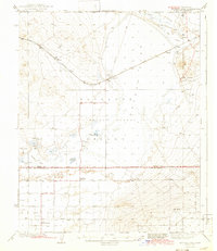
1942 · Rogers Lake
USGS Topo · 1:62,500
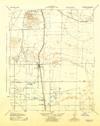
1943 · Rosamond
USGS Topo · 1:62,500
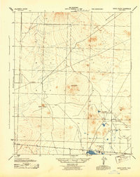
1943 · Castle Butte
USGS Topo · 1:62,500
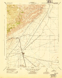
1943 · Mojave
USGS Topo · 1:62,500
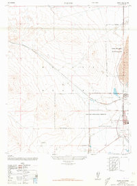
1947 · Fluhr
USGS Topo · 1:24,000