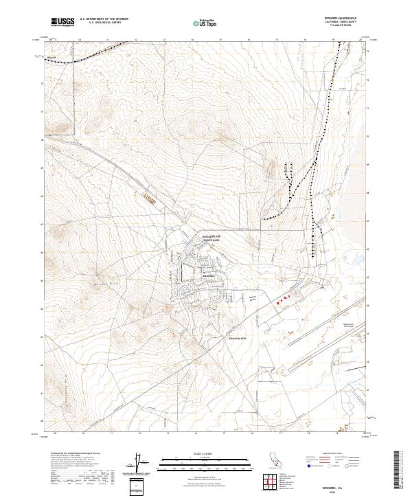
2022 Map of Edwards
USGS Topo · Published 2022About this map
Edwards and the sprawling footprint of Edwards AFB define this portion of the Mojave Desert in Kern County. The map details the residential and administrative layout of the military installation, featuring streets named after aviation pioneers such as Lindbergh Dr, Chamberlin Ave, and Yeager Blvd. The terrain is characterized by the arid isolation of the Bissell Hills and Rosamond Hills, which flank the developed areas. A small settlement at Bissell sits along the northern rail and road corridor, serving as a quiet counterpart to the high-activity military zone to the south. The thoroughfare of Fitzgerald Blvd and Kincheloe Ave connect the various housing and operational sectors, illustrating the organized growth of this high-desert aerospace hub.
Find a feature on this map
67 named features on this map. Tap any name to fly to it.
Don’t see what you’re looking for? This feature index may not catch every label — zoom into the map to look around manually.
Map Details
Editions of this 2022 Edwards Map
This is the sole edition of this map. No revisions or reprints were ever made.
Other maps of this area

1915 · Elizabeth Lake
USGS Topo · 1:125,000

1915 · Searles Lake
USGS Topo · 1:250,000

1915 · Mojave
USGS Topo · 1:125,000

1917 · Elizabeth Lake
USGS Topo · 1:125,000

1937 · Rogers Lake
USGS Topo · 1:48,000

1942 · Rogers Lake
USGS Topo · 1:62,500

1943 · Rosamond
USGS Topo · 1:62,500

1943 · Castle Butte
USGS Topo · 1:62,500

1943 · Mojave
USGS Topo · 1:62,500

1947 · Fluhr
USGS Topo · 1:24,000