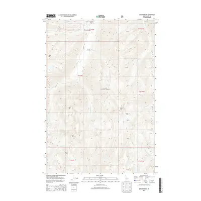
2013 Map of Edwardsburg
USGS Topo · Published 2013About this map
Edwardsburg sits in the northern reaches of the Payette National Forest, a high-elevation backcountry settlement at the confluence of several vital watercourses. The landscape is defined by the heavy drainage of Big Cr, which receives flow from Logan Cr and Lick Cr as they cut through the mountainous Idaho terrain. The topography here is exceptional, featuring distinctive formations like The Pinnacles and Hogback Ridge, while numerous alpine water bodies including Logan Lake, Lick Lake, and Catherine Lake are distributed across the high basins.
Find a feature on this map
32 named features on this map. Tap any name to fly to it.
Don’t see what you’re looking for? This feature index may not catch every label — zoom into the map to look around manually.
Map Details
Editions of this 2013 Edwardsburg Map
This is the sole edition of this map. No revisions or reprints were ever made.
Other maps of this area
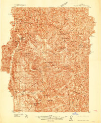
1937 · Yellow Pine
USGS Topo · 1:48,000
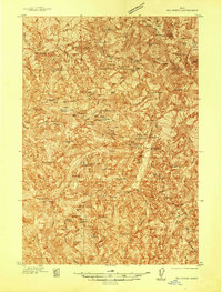
1937 · Big Creek
USGS Topo · 1:48,000
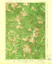
1942 · Big Creek
USGS Topo · 1:62,500
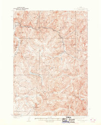
1943 · Yellow Pine
USGS Topo · 1:62,500
1956 · Elk City
USGS Topo · 1:250,000
1957 · Challis
USGS Topo · 1:250,000
1960 · Elk City
USGS Topo · 1:250,000
1960 · Challis
USGS Topo · 1:250,000
1963 · Challis
USGS Topo · 1:250,000
1969 · Edwardsburg
USGS Topo · 1:24,000