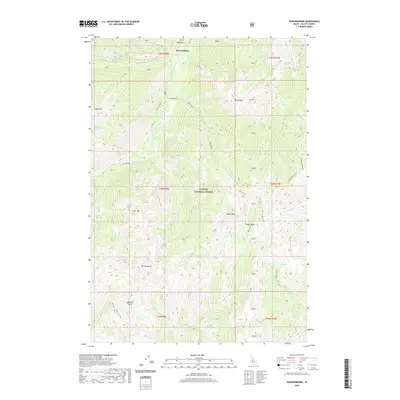
2020 Map of Edwardsburg
USGS Topo · Published 2020About this map
Edwardsburg sits as the central point of reference in this high-elevation landscape within the Payette National Forest. This region is defined by its dramatic relief and alpine hydrology, featuring notable summits such as Logan Mtn, Goat Mtn, and Marble Mtn. The terrain is deeply incised by numerous watercourses, including Big Cr, which is paralleled by Big Creek Rd, and Little Marble Creek.
Find a feature on this map
46 named features on this map. Tap any name to fly to it.
Don’t see what you’re looking for? This feature index may not catch every label — zoom into the map to look around manually.
Map Details
Editions of this 2020 Edwardsburg Map
This is the sole edition of this map. No revisions or reprints were ever made.
Other maps of this area

1937 · Yellow Pine
USGS Topo · 1:48,000

1937 · Big Creek
USGS Topo · 1:48,000

1942 · Big Creek
USGS Topo · 1:62,500

1943 · Yellow Pine
USGS Topo · 1:62,500

1956 · Elk City
USGS Topo · 1:250,000

1957 · Challis
USGS Topo · 1:250,000

1960 · Elk City
USGS Topo · 1:250,000

1960 · Challis
USGS Topo · 1:250,000

1963 · Challis
USGS Topo · 1:250,000

1969 · Edwardsburg
USGS Topo · 1:24,000