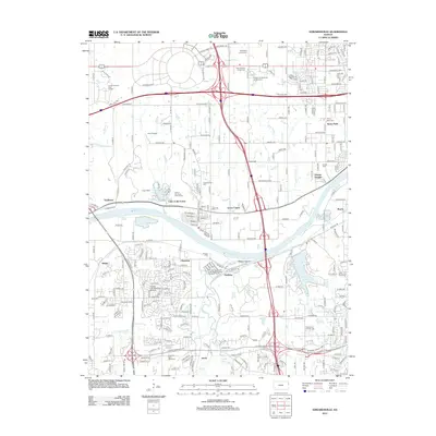
2012 Map of Edwardsville
USGS Topo · Published 2012About this map
The Kansas River carves a winding path through this 2012 survey, defining the industrial and residential boundaries between Wyandotte and Johnson Counties. Long-standing communities like Edwardsville and Morris sit amidst a complex network of modern infrastructure, where the massive interchanges of I-70 and I-435 intersect near Stony Point. The map captures a high degree of land-use variety, from the leisure grounds of the Sunflower Hills Golf Course to the specialized facilities of the Johnson County Mill Creek Regional Water Treatment Facility. Genealogists will find a high concentration of burial sites preserved here, including the Wyandotte County Cem, Chapel Hill Memorial Gardens Cem, and Saint Patricks Church Cem. The presence of the Kansas City Suburban Airpark and the Bnsf RR corridor through Holliday underscores the area's continued importance as a regional transportation and logistics hub.
Find a feature on this map
118 named features on this map. Tap any name to fly to it.
Don’t see what you’re looking for? This feature index may not catch every label — zoom into the map to look around manually.
Map Details
Editions of this 2012 Edwardsville Map
This is the sole edition of this map. No revisions or reprints were ever made.
Other maps of this area

1887 · Olathe
USGS Topo · 1:125,000

1890 · Kansas City
USGS Topo · 1:125,000

1893 · Olathe
USGS Topo · 1:125,000

1894 · Kansas City
USGS Topo · 1:125,000

1934 · Bonner Springs
USGS Topo · 1:48,000

1934 · Shawnee
USGS Topo · 1:24,000

1934 · Edwardsville
USGS Topo · 1:24,000

1934 · Wolcott
USGS Topo · 1:24,000

1935 · Olathe
USGS Topo · 1:24,000

1935 · Lenexa
USGS Topo · 1:24,000