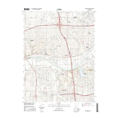
2015 Map of Edwardsville
USGS Topo · Published 2015About this map
The Kansas River divides this landscape, separating the suburban growth of Kansas City and Shawnee from the smaller settlements of Edwardsville and Bonner Springs. In the mid-2010s, this area reflects a complex transition between established residential neighborhoods and the industrial corridors of the Kaw Drive valley. For genealogists, the map is a dense record of local heritage, preserving the locations of numerous historic burial grounds such as Stony Point Cem, Grinter Cem, and the Wyandotte County Cem.
Find a feature on this map
121 named features on this map. Tap any name to fly to it.
Don’t see what you’re looking for? This feature index may not catch every label — zoom into the map to look around manually.
Map Details
Editions of this 2015 Edwardsville Map
This is the sole edition of this map. No revisions or reprints were ever made.
Other maps of this area

1887 · Olathe
USGS Topo · 1:125,000

1890 · Kansas City
USGS Topo · 1:125,000

1893 · Olathe
USGS Topo · 1:125,000

1894 · Kansas City
USGS Topo · 1:125,000

1934 · Bonner Springs
USGS Topo · 1:48,000

1934 · Shawnee
USGS Topo · 1:24,000

1934 · Edwardsville
USGS Topo · 1:24,000

1934 · Wolcott
USGS Topo · 1:24,000

1935 · Olathe
USGS Topo · 1:24,000

1935 · Lenexa
USGS Topo · 1:24,000