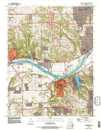
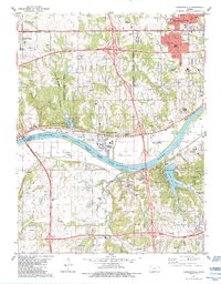
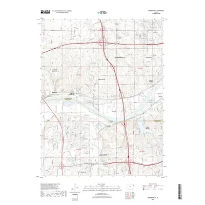
1991 Map of Edwardsville
USGS Topo · Published 1996About this map
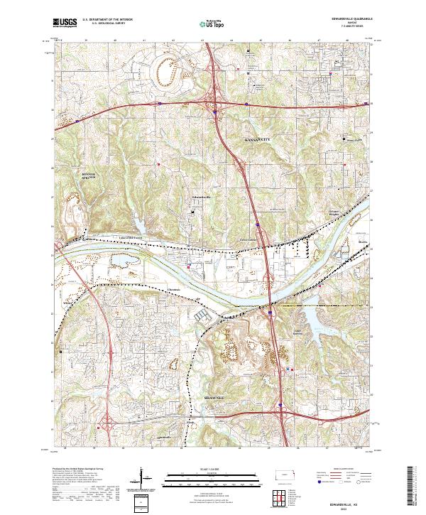
The Kansas River carves through the heart of this landscape, separating the residential growth of Edwardsville and Kansas City in the north from the rolling reaches of Shawnee to the south. By the early 1990s, the area reflects a complex mix of mid-century suburban expansion and industrial infrastructure, characterized by several Quarry operations and the sprawling Wyandotte County Park.
Find a feature on this map
40 named features on this map. Tap any name to fly to it.
Don’t see what you’re looking for? This feature index may not catch every label — zoom into the map to look around manually.
Map Details
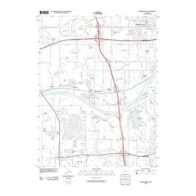
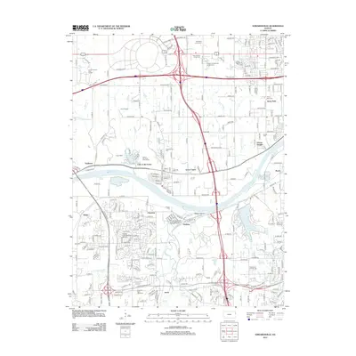
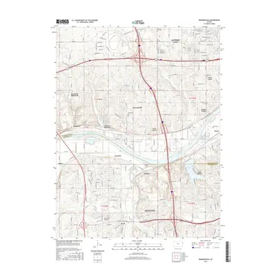
Editions of this 1991 Edwardsville Map
This is the sole edition of this map. No revisions or reprints were ever made.
Historical Maps of Kansas City Through Time
10 maps found
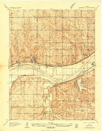
1934 Edwardsville
Wyandotte County, KS
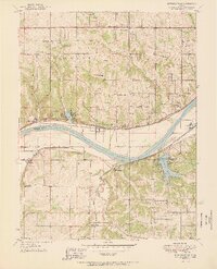
1950 Edwardsville
Wyandotte County, KS
1951 Edwardsville
Wyandotte County, KS
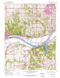
1984 Edwardsville
Wyandotte County, KS
1991 Edwardsville
Wyandotte County, KS
2009 Edwardsville
Wyandotte County, KS
2012 Edwardsville
Wyandotte County, KS
2015 Edwardsville
Wyandotte County, KS
2018 Edwardsville
Wyandotte County, KS
2022 Edwardsville
Wyandotte County, KS