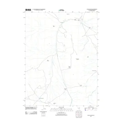
2012 Map of Egan Canyon
USGS Topo · Published 2012About this map
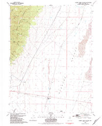
Egan Peak overlooks a landscape defined by high summits and deep basins in this high-desert portion of White Pine County. The San Jose Mill stands as a primary landmark near the northern mouth of Egan Canyon, indicating the historical intersection of industrial effort and the natural corridor provided by the mountains. Settlement patterns are sparse and tied closely to water and passage, with Georgetta Cabin and the Johnson Ranch situated along the primitive roads that skirt the peaks.
Find a feature on this map
25 named features on this map. Tap any name to fly to it.
Don’t see what you’re looking for? This feature index may not catch every label — zoom into the map to look around manually.
Map Details
Editions of this 2012 Egan Canyon Map
This is the sole edition of this map. No revisions or reprints were ever made.
Other maps of this area

1956 · Ely
USGS Topo · 1:250,000

1959 · Ely
USGS Topo · 1:250,000
1962 · Hunter Point
USGS Topo · 1:24,000

1963 · Ely
USGS Topo · 1:250,000

1982 · Ninemile Well
USGS Topo · 1:24,000

1982 · Borchert Spring
USGS Topo · 1:24,000

1982 · Exchequer Spring
USGS Topo · 1:24,000
1982 · Franks Well
USGS Topo · 1:24,000
1982 · Monte Neva Hot Springs
USGS Topo · 1:24,000
1982 · Cherry Creek Station
USGS Topo · 1:24,000