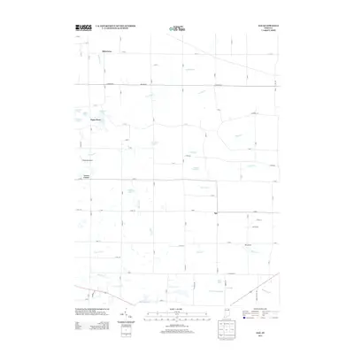
2013 Map of Ege
USGS Topo · Published 2013About this map
Bakertown and Green Center anchor a landscape defined by an intricate network of drainage ditches and small glacial lakes in this corner of Noble County. This 2013 survey documents the agricultural character of the region, where family-named waterways like Summers Ditch, Thumma Ditch, and Yarian Ditch channel water through a terrain dotted with recreational and ecological landmarks. Small clusters of residences appear at Ege and Egans Point, the latter situated near a concentration of water bodies including Long Lake and Krieger Lake.
Find a feature on this map
55 named features on this map. Tap any name to fly to it.
Don’t see what you’re looking for? This feature index may not catch every label — zoom into the map to look around manually.
Map Details
Editions of this 2013 Ege Map
This is the sole edition of this map. No revisions or reprints were ever made.
Other maps of this area

1951 · Merriam
USGS Topo · 1:24,000

1953 · Fort Wayne
USGS Topo · 1:250,000

1955 · Corunna
USGS Topo · 1:24,000

1955 · Columbia City
USGS Topo · 1:24,000

1955 · Ege
USGS Topo · 1:24,000

1955 · Kendallville
USGS Topo · 1:24,000

1956 · Fort Wayne
USGS Topo · 1:250,000

1956 · Albion
USGS Topo · 1:24,000

1957 · Huntertown
USGS Topo · 1:24,000

1957 · Garrett
USGS Topo · 1:24,000