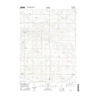
2016 Map of Ege
USGS Topo · Published 2016About this map
The Blue River winds through the southern landscape of this 2016 survey, which highlights the intersection of Noble, Whitley, and Allen Counties. Small settlements and rural crossroads like Bakertown, Green Center, and Ege are scattered across a landscape defined by an extensive system of agricultural drainage, including the Thumma Ditch, Whan Ditch, and Rousch Ditch. These waterways support the region's productive farmland while connecting a series of natural and man-made water bodies such as Summit Lake, Mud Lake, and McHenry Lake.
Find a feature on this map
63 named features on this map. Tap any name to fly to it.
Don’t see what you’re looking for? This feature index may not catch every label — zoom into the map to look around manually.
Map Details
Editions of this 2016 Ege Map
This is the sole edition of this map. No revisions or reprints were ever made.
Other maps of this area

1951 · Merriam
USGS Topo · 1:24,000

1953 · Fort Wayne
USGS Topo · 1:250,000

1955 · Corunna
USGS Topo · 1:24,000

1955 · Columbia City
USGS Topo · 1:24,000

1955 · Ege
USGS Topo · 1:24,000

1955 · Kendallville
USGS Topo · 1:24,000

1956 · Fort Wayne
USGS Topo · 1:250,000

1956 · Albion
USGS Topo · 1:24,000

1957 · Huntertown
USGS Topo · 1:24,000

1957 · Garrett
USGS Topo · 1:24,000