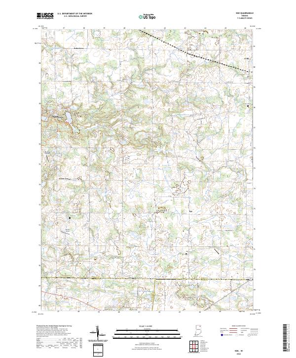
2022 Map of Ege
USGS Topo · Published 2022About this map
The northern reaches of Blue River flow through this landscape on the borders of Noble, Whitley, and Allen counties. This 2022 survey documents a patchwork of agricultural land and managed water systems, characterized by an extensive network of drainage features like Thumma Ditch, Yarian Ditch, and Bilger Ditch. Small, unincorporated settlements such as Ege, Green Center, and Bakertown serve as local anchors, while the southern edge of Avilla appears in the northeast.
Find a feature on this map
83 named features on this map. Tap any name to fly to it.
Don’t see what you’re looking for? This feature index may not catch every label — zoom into the map to look around manually.
Map Details
Editions of this 2022 Ege Map
This is the sole edition of this map. No revisions or reprints were ever made.
Other maps of this area

1951 · Merriam
USGS Topo · 1:24,000

1953 · Fort Wayne
USGS Topo · 1:250,000

1955 · Corunna
USGS Topo · 1:24,000

1955 · Columbia City
USGS Topo · 1:24,000

1955 · Ege
USGS Topo · 1:24,000

1955 · Kendallville
USGS Topo · 1:24,000

1956 · Fort Wayne
USGS Topo · 1:250,000

1956 · Albion
USGS Topo · 1:24,000

1957 · Huntertown
USGS Topo · 1:24,000

1957 · Garrett
USGS Topo · 1:24,000