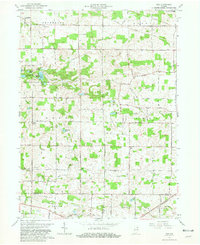
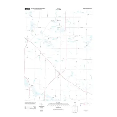
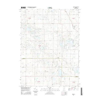
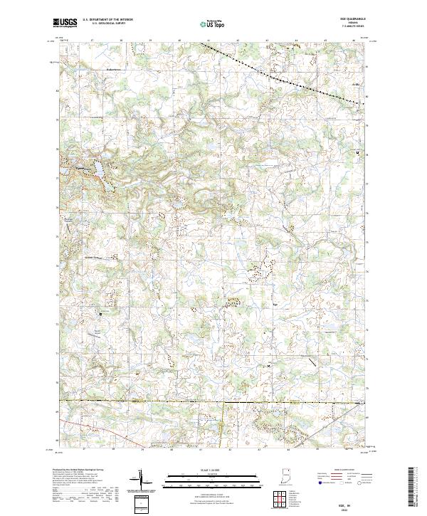
1965 Map of Ege
USGS Topo · Published 1981About this map
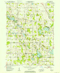
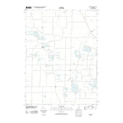
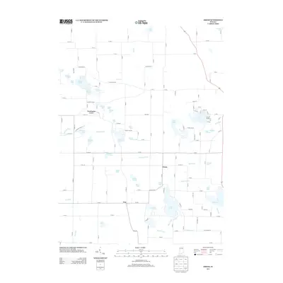
Chain O'Lakes State Park dominates the northwest quadrant of this 1965 survey, showcasing a dense cluster of kettle lakes including Long Lake, Bowen Lake, and Sucker Lake. The surrounding Noble and Whitley County countryside is defined by an intricate network of agricultural drainage ditches and small rural settlements like Green Center and Bakertown. Local history and genealogy are well-represented through numerous landmark churches and cemeteries, such as Charter Oak Ch and the Rehoboth Cem Ch.
Find a feature on this map
42 named features on this map. Tap any name to fly to it.
Don’t see what you’re looking for? This feature index may not catch every label — zoom into the map to look around manually.
Map Details
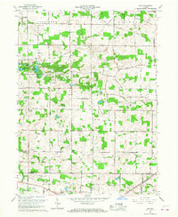
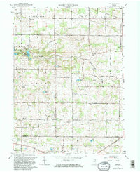
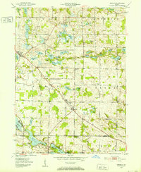
Editions of this 1965 Ege Map
Historical Maps of Avilla Through Time
21 maps found
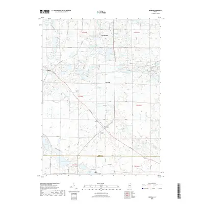
1951 Merriam
Noble County, IN
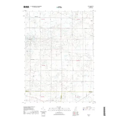
1951 Ormas
Noble County, IN
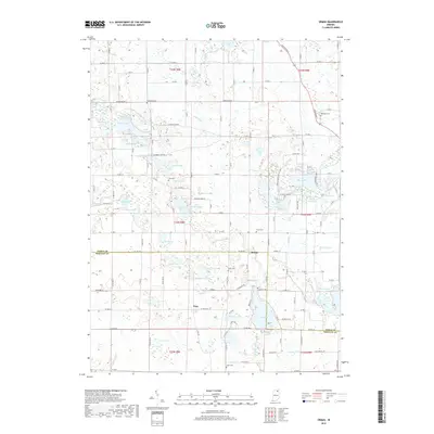
1955 Ege
Noble County, IN
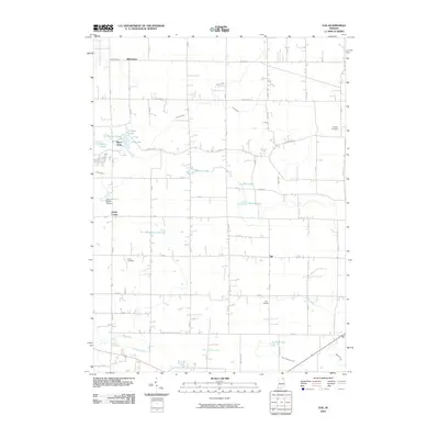
1965 Ege
Noble County, IN
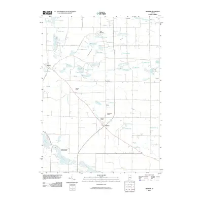
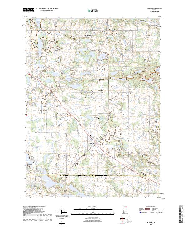
1965 Merriam
Noble County, IN
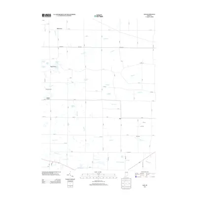
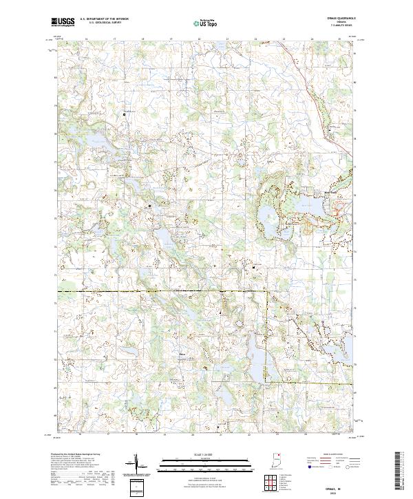
1965 Ormas
Noble County, IN
2010 Ege
Noble County, IN
2010 Merriam
Noble County, IN
2010 Ormas
Noble County, IN
2013 Ege
Noble County, IN
2013 Merriam
Noble County, IN
2013 Ormas
Noble County, IN
2016 Ege
Noble County, IN
2016 Merriam
Noble County, IN
2016 Ormas
Noble County, IN
2019 Ege
Noble County, IN
2019 Merriam
Noble County, IN
2019 Ormas
Noble County, IN
2022 Ege
Noble County, IN
2022 Merriam
Noble County, IN
2022 Ormas
Noble County, IN