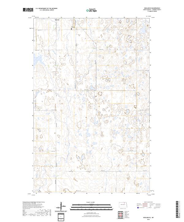
2024 Map of Egeland SE
USGS Topo · Published 2024About this map
Egeland anchors the northern edge of this North Dakota landscape, a region defined by its wetland basins and agricultural grid. The local heritage is preserved at the Egeland Union Cem located just south of the main settlement along 83rd St NE. This modern survey reflects the ecological importance of the Prairie Pothole Region, showing the fragmented sections of the Towner County Waterfowl Production Area interspersed with cultivated fields. The southern reaches of the map are marked by the drainage of Big Coulee, which cuts through the township boundaries of t158n r66w and t158n r65w. The road network, including Egeland Rd and 71st Ave NE, follows a strict section-line pattern characteristic of the state's rural development.
Find a feature on this map
23 named features on this map. Tap any name to fly to it.
Don’t see what you’re looking for? This feature index may not catch every label — zoom into the map to look around manually.
Map Details
Editions of this 2024 Egeland SE Map
This is the sole edition of this map. No revisions or reprints were ever made.
Other maps of this area

1953 · Devils Lake
USGS Topo · 1:250,000

1956 · Devils Lake
USGS Topo · 1:250,000

1957 · Cando
USGS Topo · 1:24,000

1957 · Cando NE
USGS Topo · 1:24,000

1962 · Egeland SE
USGS Topo · 1:24,000

1962 · Egeland SW
USGS Topo · 1:24,000

1962 · Starkweather
USGS Topo · 1:24,000

1962 · Egeland
USGS Topo · 1:24,000

1962 · Snyder Lake
USGS Topo · 1:24,000

1971 · Calio
USGS Topo · 1:24,000