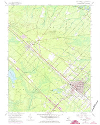
1956 Map of Egg Harbor City
USGS Topo · Published 1973About this map
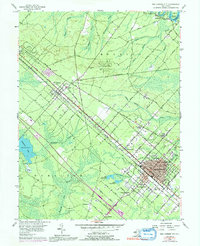
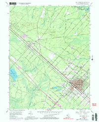
The Pennsylvania-Reading Seashore Lines cuts a straight diagonal through the landscape, anchoring the development of Elwood and Egg Harbor City. This transportation corridor defined the mid-century industrial and residential expansion in Atlantic County, where the street grid of Egg Harbor City—marked by avenues named for international cities like Philadelphia Ave and Berlin Ave—contrasts with the surrounding pine forests. The map highlights a diverse local economy and infrastructure, from the Cranberry Bog near Makepeace Lake to the Amotol Race Track in the northwest. Educational and religious centers such as Buffalo Ave Sch and St Nicholas Sch serve the growing population centers, while smaller settlements like Devonshire and South Egg Harbor fill the spaces between the major rail stops and the Atlantic City Expressway.
Find a feature on this map
63 named features on this map. Tap any name to fly to it.
Don’t see what you’re looking for? This feature index may not catch every label — zoom into the map to look around manually.
Map Details
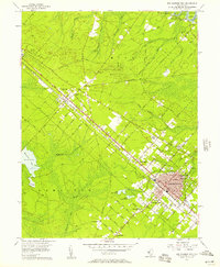
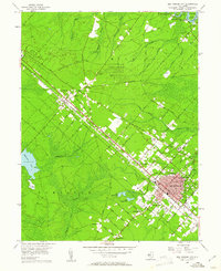
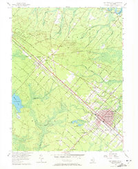
Editions of this 1956 Egg Harbor City Map
6 editions found
Other maps of this area

1890 · Great Egg Harbor
USGS Topo · 1:62,500

1890 · Hammonton
USGS Topo · 1:62,500

1890 · Tuckahoe
USGS Topo · 1:62,500

1890 · Mullica
USGS Topo · 1:62,500

1893 · Great Egg Harbor
USGS Topo · 1:62,500

1893 · Tuckahoe
USGS Topo · 1:62,500

1894 · Hammonton
USGS Topo · 1:62,500

1894 · Mullica
USGS Topo · 1:62,500

1898 · Mullica
USGS Topo · 1:62,500

1898 · Hammonton
USGS Topo · 1:62,500
Featured Places
- Galloway Township, NJ
- Hamilton Township, NJ
- Mullica Township, NJ
- Egg Harbor City, NJ
- Washington Township, NJ