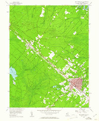
1956 Map of Egg Harbor City
USGS Topo · Published 1961About this map
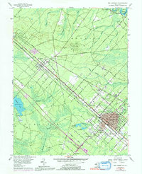
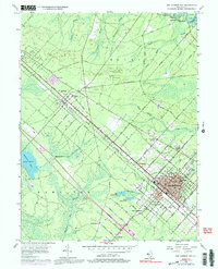
Egg Harbor City anchors this mid-century topographic portrait, showcasing a highly structured urban grid that contrasts sharply with the surrounding pine barrens. The town's layout, characterized by wide thoroughfares like Philadelphia Avenue and Hamburg Avenue, reflects its planned origins, while the Pennsylvania Reading Seashore Lines cuts a straight diagonal through the landscape, linking settlements from Elwood to Devonshire. This rail corridor served as the industrial and social spine of the region, facilitating the movement of people and goods through the Atlantic County interior.
Find a feature on this map
68 named features on this map. Tap any name to fly to it.
Don’t see what you’re looking for? This feature index may not catch every label — zoom into the map to look around manually.
Map Details
Editions of this 1956 Egg Harbor City Map
6 editions found
Other maps of this area

1890 · Great Egg Harbor
USGS Topo · 1:62,500

1890 · Hammonton
USGS Topo · 1:62,500

1890 · Tuckahoe
USGS Topo · 1:62,500

1890 · Mullica
USGS Topo · 1:62,500

1893 · Great Egg Harbor
USGS Topo · 1:62,500

1893 · Tuckahoe
USGS Topo · 1:62,500

1894 · Hammonton
USGS Topo · 1:62,500

1894 · Mullica
USGS Topo · 1:62,500

1898 · Mullica
USGS Topo · 1:62,500

1898 · Hammonton
USGS Topo · 1:62,500
Featured Places
- Galloway Township, NJ
- Hamilton Township, NJ
- Mullica Township, NJ
- Egg Harbor City, NJ
- Washington Township, NJ