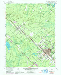
1956 Map of Egg Harbor City
USGS Topo · Published 1991About this map
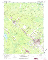
The grid-iron street layout of Egg Harbor City dominates this portion of the New Jersey Pine Barrens, revealing a meticulously planned community developed along the Pennsylvania Reading Seashore Lines. Surrounding the urban center, smaller settlements like Elwood, Devonshire, and South Egg Harbor follow the rail corridor and the parallel White Horse Pike. The landscape is a mix of agricultural clearings and dense woods, where numerous Cranberry Bogs and branches of the Mullica River define the local industry. To the northwest, the Amotol Race Track and a State Police Sta sit near the edge of the Wharton State Forest. This 1956 survey, with 1972 photo-revisions, captures the area just as the Atlantic City Expressway began to bypass the older thoroughfares, signaling a shift in South Jersey transportation patterns. Local landmarks such as St Nicholas Ch, the Buffalo Ave Sch, and the Egg Harbor Cem offer specific touchpoints for genealogical research.
Find a feature on this map
79 named features on this map. Tap any name to fly to it.
Don’t see what you’re looking for? This feature index may not catch every label — zoom into the map to look around manually.
Map Details
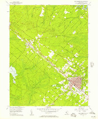
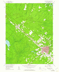
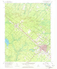
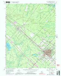
Editions of this 1956 Egg Harbor City Map
6 editions found
Other maps of this area

1890 · Great Egg Harbor
USGS Topo · 1:62,500

1890 · Hammonton
USGS Topo · 1:62,500

1890 · Tuckahoe
USGS Topo · 1:62,500

1890 · Mullica
USGS Topo · 1:62,500

1893 · Great Egg Harbor
USGS Topo · 1:62,500

1893 · Tuckahoe
USGS Topo · 1:62,500

1894 · Hammonton
USGS Topo · 1:62,500

1894 · Mullica
USGS Topo · 1:62,500

1898 · Mullica
USGS Topo · 1:62,500

1898 · Hammonton
USGS Topo · 1:62,500
Featured Places
- Galloway Township, NJ
- Hamilton Township, NJ
- Mullica Township, NJ
- Egg Harbor City, NJ
- Washington Township, NJ