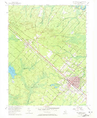
1956 Map of Egg Harbor City
USGS Topo · Published 1972About this map
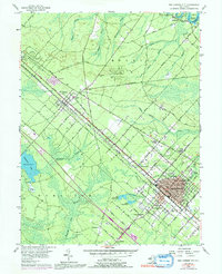
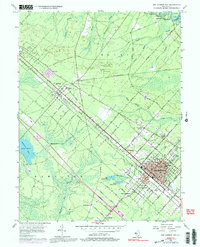
The Pennsylvania Reading Seashore Lines cuts a sharp diagonal through this Atlantic County landscape, anchoring the development of Egg Harbor City and Elwood. The city grid reflects its late 19th-century origins with street names like Bremen Avenue, Hamburg Avenue, and Antwerp Avenue, pointing to the heritage of the early settlers. Education and community life are marked by the St Nicholas Sch and Buffalo Ave Sch, while the outskirts transition into the dense woods of the State Forest and the wetland ecosystems surrounding Makepeace Lake. To the north, the Mulica River and branches such as Indian Cabin Branch define the boundary near Sweetwater, where the terrain remains largely dominated by boggy lowlands and stream networks like Landing Creek. This mid-century survey captures the region before the expansion of the modern Garden State Parkway corridor, showing established local landmarks like Laurel Hill Cem and the State Police Sta.
Find a feature on this map
72 named features on this map. Tap any name to fly to it.
Don’t see what you’re looking for? This feature index may not catch every label — zoom into the map to look around manually.
Map Details
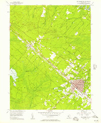
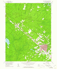
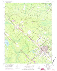
Editions of this 1956 Egg Harbor City Map
6 editions found
Other maps of this area

1890 · Great Egg Harbor
USGS Topo · 1:62,500

1890 · Hammonton
USGS Topo · 1:62,500

1890 · Tuckahoe
USGS Topo · 1:62,500

1890 · Mullica
USGS Topo · 1:62,500

1893 · Great Egg Harbor
USGS Topo · 1:62,500

1893 · Tuckahoe
USGS Topo · 1:62,500

1894 · Hammonton
USGS Topo · 1:62,500

1894 · Mullica
USGS Topo · 1:62,500

1898 · Mullica
USGS Topo · 1:62,500

1898 · Hammonton
USGS Topo · 1:62,500
Featured Places
- Galloway Township, NJ
- Hamilton Township, NJ
- Mullica Township, NJ
- Egg Harbor City, NJ
- Washington Township, NJ