
1949 Map of Egnar
USGS Topo · Published 1949About this map
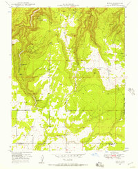
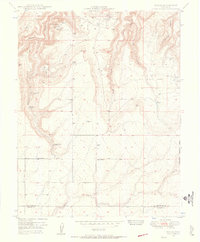
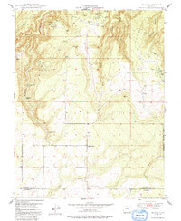
Egnar and its surrounding canyonlands appear here in a 1949 survey, commissioned in part by the United States Atomic Energy Commission. This post-war era was a significant period for the region's uranium and vanadium mining industry, evidenced by the high density of labeled claims such as the Golden Rod Mines, Legin Mines, and the Strawberry Roan Mine. The landscape is a mix of agricultural plateaus and deep drainages, including the aptly named The Spud Patch and the rugged Bishop Canyon. Small-scale civic life is centered at the Egnar School, while the broader terrain is defined by vital water sources like Bishop Canyon Spring and Overall Spring. This map captures the intersection of traditional high-country ranching and the Cold War-era mineral rush, documenting many specific mining sites that were active before the mid-century peak of the Colorado Plateau's uranium boom.
Find a feature on this map
27 named features on this map. Tap any name to fly to it.
Don’t see what you’re looking for? This feature index may not catch every label — zoom into the map to look around manually.
Map Details
Editions of this 1949 Egnar Map
4 editions found
Other maps of this area

1885 · La Sal
USGS Topo · 1:250,000

1886 · Abajo
USGS Topo · 1:250,000

1892 · Abajo
USGS Topo · 1:250,000

1893 · Abajo
USGS Topo · 1:250,000

1916 · Paradox Valley
USGS Topo · 1:125,000

1922 · Paradox Valley
USGS Topo · 1:125,000

1948 · Horse Range Mesa
USGS Topo · 1:24,000

1948 · Hamm Canyon
USGS Topo · 1:24,000

1949 · Joe Davis Hill
USGS Topo · 1:24,000

1950 · Horse Range Mesa
USGS Topo · 1:24,000