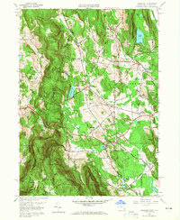
1958 Map of Egremont
USGS Topo · Published 1965About this map
North Egremont and South Egremont serve as the primary hubs in this late-1950s depiction of the Berkshire highlands. The landscape is defined by its dramatic relief, stretching from the high peaks of Mt Sterling and Mt Bushnell in the south to the prominent Tom Ball Mtn in the northeast. The Appalachian Trail traces the ridgeline along the southern border, passing by landmarks like Jug End and Mt Darby. This survey captures the rural character of the era, showing the institutional presence of Cornwell Academy and the aviation hub at Great Barrington Airport. The map also preserves the location of the Battlesite Mon near the Sheffield border, reflecting the area's deep-seated local history. Smaller hamlets like Alford and Dusenville are connected by a network of local thoroughfares including West Plain Road and Town House Road, which weave between glacial water bodies such as Prospect Lake and Long Pond.
Find a feature on this map
49 named features on this map. Tap any name to fly to it.
Don’t see what you’re looking for? This feature index may not catch every label — zoom into the map to look around manually.
Map Details
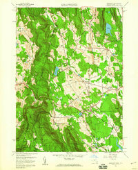
Editions of this 1958 Egremont Map
2 editions found
Other maps of this area

1885 · Sheffield
USGS Topo · 1:62,500

1888 · Sheffield
USGS Topo · 1:62,500

1888 · Pittsfield
USGS Topo · 1:62,500

1890 · Pittsfield
USGS Topo · 1:62,500

1891 · Sheffield
USGS Topo · 1:62,500

1893 · Sheffield
USGS Topo · 1:62,500

1893 · Pittsfield
USGS Topo · 1:62,500

1894 · Pittsfield
USGS Topo · 1:62,500

1897 · Pittsfield
USGS Topo · 1:62,500

1897 · Sheffield
USGS Topo · 1:62,500