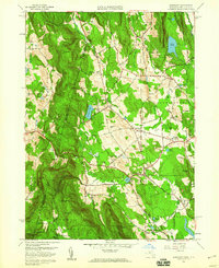
1958 Map of Egremont
USGS Topo · Published 1968About this map
The New York-Massachusetts border defines the western edge of this landscape, where the highlands of the Taconic Range meet the agricultural valleys of southern Berkshire County. Settlements are concentrated along the watercourses, including North Egremont on the Seekonk Brook and South Egremont near Mill Pond. The map captures a moment when local landmarks like Cornwell Academy and the Great Barrington Airport served as anchors for the community. High elevation points such as Mt Sterling and Mt Bushnell overlook the Jug End area, while the Appalachian Trail winds through the southern ridges of Mount Washington. Genealogists and local historians can locate the uniquely named Bow Wow Cem in Sheffield or the Battlesite Mon, which marks a specific point of historical conflict in the region.
Find a feature on this map
49 named features on this map. Tap any name to fly to it.
Don’t see what you’re looking for? This feature index may not catch every label — zoom into the map to look around manually.
Map Details
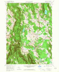
Editions of this 1958 Egremont Map
2 editions found
Other maps of this area

1885 · Sheffield
USGS Topo · 1:62,500

1888 · Sheffield
USGS Topo · 1:62,500

1888 · Pittsfield
USGS Topo · 1:62,500

1890 · Pittsfield
USGS Topo · 1:62,500

1891 · Sheffield
USGS Topo · 1:62,500

1893 · Sheffield
USGS Topo · 1:62,500

1893 · Pittsfield
USGS Topo · 1:62,500

1894 · Pittsfield
USGS Topo · 1:62,500

1897 · Pittsfield
USGS Topo · 1:62,500

1897 · Sheffield
USGS Topo · 1:62,500