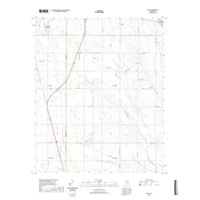
2020 Map of Egypt
USGS Topo · Published 2020About this map
Okolona and the small community of Egypt anchor this portrait of the Mississippi Black Prairie, where the landscape is defined by the headwaters of numerous creeks and the agricultural grid. The boundary between Chickasaw Co and Monroe Co runs north to south through the center of the sheet, bisecting a network of rural routes such as Chapel Grove RD and White Rock RD.
Find a feature on this map
70 named features on this map. Tap any name to fly to it.
Don’t see what you’re looking for? This feature index may not catch every label — zoom into the map to look around manually.
Map Details
Editions of this 2020 Egypt Map
This is the sole edition of this map. No revisions or reprints were ever made.
Other maps of this area

1953 · West Point
USGS Topo · 1:250,000

1956 · Tupelo
USGS Topo · 1:250,000

1958 · Tupelo
USGS Topo · 1:250,000

1958 · West Point
USGS Topo · 1:250,000

1959 · Van Vleet
USGS Topo · 1:62,500

1963 · West Point
USGS Topo · 1:250,000

1965 · Egypt
USGS Topo · 1:24,000

1966 · Aberdeen
USGS Topo · 1:24,000

1966 · Shannon
USGS Topo · 1:24,000

1966 · Wren
USGS Topo · 1:24,000