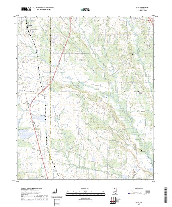
2024 Map of Egypt
USGS Topo · Published 2024About this map
Egypt and the southern outskirts of Okolona anchor this landscape along the boundary of Chickasaw and Monroe counties. This region is defined by a dense network of meandering waterways, including Mattubby Creek, Jolly Creek, and Hogpen Creek, which carve through the low-lying terrain. The map reveals a pattern of rural settlement and local genealogy, preserved through numerous small family and community burial sites like Walker Cem, Samuel Word Cem, and Ware Hill Cem. Transportation through the area is facilitated by S Hwy 45 Alt Rte and a series of rural routes such as Egypt Rd and White Rock Rd. The inclusion of Ball Airport near the southern edge of the quadrangle highlights the continued modernization of this traditional agricultural and residential corridor.
Find a feature on this map
68 named features on this map. Tap any name to fly to it.
Don’t see what you’re looking for? This feature index may not catch every label — zoom into the map to look around manually.
Map Details
Editions of this 2024 Egypt Map
This is the sole edition of this map. No revisions or reprints were ever made.
Other maps of this area

1953 · West Point
USGS Topo · 1:250,000

1956 · Tupelo
USGS Topo · 1:250,000

1958 · Tupelo
USGS Topo · 1:250,000

1958 · West Point
USGS Topo · 1:250,000

1959 · Van Vleet
USGS Topo · 1:62,500

1963 · West Point
USGS Topo · 1:250,000

1965 · Egypt
USGS Topo · 1:24,000

1966 · Aberdeen
USGS Topo · 1:24,000

1966 · Shannon
USGS Topo · 1:24,000

1966 · Wren
USGS Topo · 1:24,000