
1968 Map of Eightmile
USGS Topo · Published 1970About this map
Eightmile serves as a central point in this part of Morrow County, where a network of canyons defines the upland topography. The landscape is marked by deep drainage patterns including Lundell Canyon, Robinson Canyon, and Keck Canyon, which feed into Eightmile Creek and Rhea Creek. Human settlement is sparse and tied to the land's contours, evidenced by the presence of Storage Bins and a Landing Strip serving the agricultural needs of the high plateau. Local history is anchored by the Junkins Cemetery and the Liberty School, while the small community of Valby sits near the head of several draws. Water remains a critical resource in this arid environment, highlighted by named points like Dripping Springs and various unnamed springs scattered through the draws.
Find a feature on this map
20 named features on this map. Tap any name to fly to it.
Don’t see what you’re looking for? This feature index may not catch every label — zoom into the map to look around manually.
Map Details
Editions of this 1968 Eightmile Map
This is the sole edition of this map. No revisions or reprints were ever made.
Other maps of this area

1953 · Pendleton
USGS Topo · 1:250,000

1956 · Pendleton
USGS Topo · 1:250,000

1968 · Gooseberry
USGS Topo · 1:24,000

1968 · Lexington
USGS Topo · 1:24,000
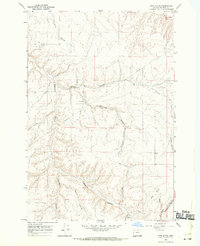
1968 · Utts Butte
USGS Topo · 1:24,000

1968 · Ruggs
USGS Topo · 1:24,000

1968 · Ione South
USGS Topo · 1:24,000

1969 · Buttermilk Canyon
USGS Topo · 1:24,000

1969 · Hardman
USGS Topo · 1:24,000
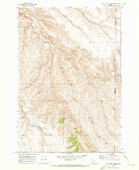
1970 · Lone Rock Creek
USGS Topo · 1:24,000