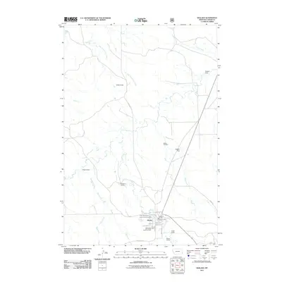
1982 Map of Ekalaka
USGS Topo · Published 1983About this map
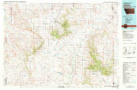
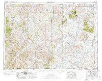
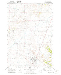
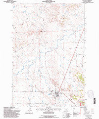
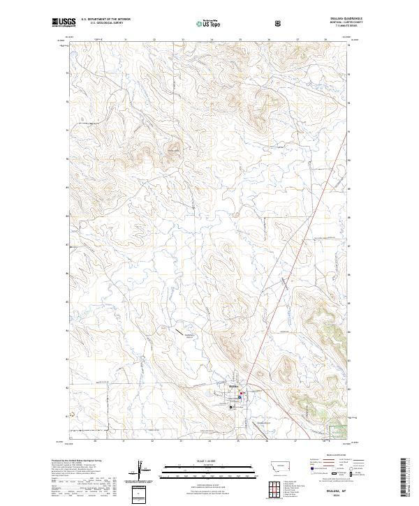
Ekalaka serves as the focal point of this Eastern Montana landscape, situated at the edge of the Ekalaka Hills and near the expansive Custer National Forest. Compiled in the early 1980s, the map reveals a remote ranching and forest region defined by dramatic landforms such as the Chalk Buttes, Medicine Rocks, and Finger Buttes. The drainage patterns are intricate, with the Little Missouri River flowing through the southeast corner and numerous watercourses like Beaver Creek and Boxelder Creek carving through the plains.
Find a feature on this map
71 named features on this map. Tap any name to fly to it.
Don’t see what you’re looking for? This feature index may not catch every label — zoom into the map to look around manually.
Map Details
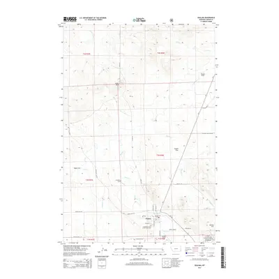
Editions of this 1982 Ekalaka Map
This is the sole edition of this map. No revisions or reprints were ever made.
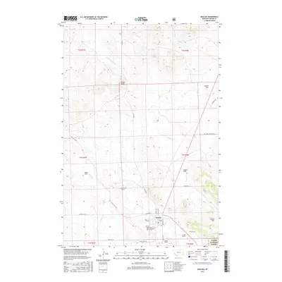
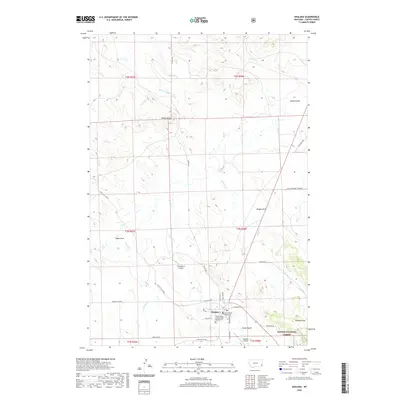
Historical Maps of Ekalaka Through Time
12 maps found
1954 Ekalaka
Carter County, MT

1956 Ekalaka
Carter County, MT

1958 Ekalaka
Carter County, MT

1965 Ekalaka
Carter County, MT
1979 Ekalaka
Carter County, MT
1982 Ekalaka
Carter County, MT
1993 Ekalaka
Carter County, MT
2011 Ekalaka
Carter County, MT
2014 Ekalaka
Carter County, MT
2017 Ekalaka
Carter County, MT
2020 Ekalaka
Carter County, MT
2024 Ekalaka
Carter County, MT