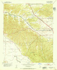
1953 Map of El Casco
USGS Topo · Published 1954About this map
The Badlands dominate this 1953 landscape, where the intricate drainage patterns and sharp ridges of Riverside County meet the developing agricultural and transportation corridors of the mid-century. The Southern Pacific railroad and San Timoteo Canyon form the primary artery through the terrain, connecting small settlements like Hinda and Nicklin. To the north, the burgeoning communities of Yucaipa and Calimesa show early street grids and landmarks like the Calimesa Airport, while the southern reaches remain defined by large land grants such as San Jacinto Nuevo y Potrero. This era captures a specific moment before modern suburban expansion, highlighting localized landmarks like Eden Hot Springs near Mt Eden and the recreational waters of El Casco Lake. The presence of numerous wells and reservoirs along Singleton Road suggests the critical importance of water management in this arid stretch between the San Jacinto and San Gorgonio regions.
Find a feature on this map
27 named features on this map. Tap any name to fly to it.
Don’t see what you’re looking for? This feature index may not catch every label — zoom into the map to look around manually.
Map Details
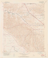
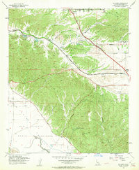
Editions of this 1953 El Casco Map
3 editions found
Other maps of this area

1899 · Redlands
USGS Topo · 1:62,500

1901 · Southern California Sheet No. 1
USGS Topo · 1:250,000

1901 · San Jacinto
USGS Topo · 1:125,000

1901 · Redlands
USGS Topo · 1:62,500

1901 · Elsinore
USGS Topo · 1:125,000

1902 · San Gorgonio
USGS Topo · 1:125,000

1904 · Southern California Sheet No. 1
USGS Topo · 1:250,000

1942 · Banning
USGS Topo · 1:62,500

1942 · Perris
USGS Topo · 1:62,500

1943 · Perris
USGS Topo · 1:62,500