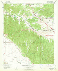
1953 Map of El Casco
USGS Topo · Published 1962About this map
San Timoteo Canyon serves as a primary corridor for the Southern Pacific railroad during the early 1950s, cutting through the complex topography of the Tract Between San Jacinto and San Gorgonio. This region is defined by the transition from the developing settlements of Yucaipa and Calimesa in the north to the erosion-sculpted terrain of The Badlands further south.
Find a feature on this map
30 named features on this map. Tap any name to fly to it.
Don’t see what you’re looking for? This feature index may not catch every label — zoom into the map to look around manually.
Map Details
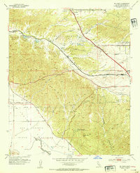
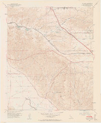
Editions of this 1953 El Casco Map
3 editions found
Other maps of this area

1899 · Redlands
USGS Topo · 1:62,500

1901 · Southern California Sheet No. 1
USGS Topo · 1:250,000

1901 · San Jacinto
USGS Topo · 1:125,000

1901 · Redlands
USGS Topo · 1:62,500

1901 · Elsinore
USGS Topo · 1:125,000

1902 · San Gorgonio
USGS Topo · 1:125,000

1904 · Southern California Sheet No. 1
USGS Topo · 1:250,000

1942 · Banning
USGS Topo · 1:62,500

1942 · Perris
USGS Topo · 1:62,500

1943 · Perris
USGS Topo · 1:62,500