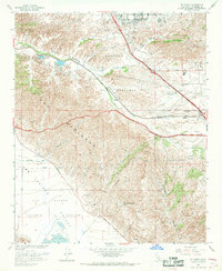
1967 Map of El Casco
USGS Topo · Published 1969About this map
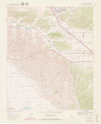
The Badlands dominate the central landscape of this Riverside County region, providing a stark topographical contrast to the developing communities of Calimesa and Yucaipa along the northern edge. The Southern Pacific railroad tracks trace a critical corridor through the San Timoteo Canyon, passing by the namesake settlement of El Casco and its adjacent El Casco Lake. The presence of Eden Hot Springs at the foot of Mt Eden suggests the era's focus on local thermal resorts, while the Duck Ponds and various wells indicate the complex water management required for the San Jacinto Valley. In the southeast, the map records the transition from agricultural land to memorial use at Forest Lawn Memorial Gardens, situated near the small railroad siding of Nicklin. This survey captures the area just as suburban expansion began to encroach upon the rugged geologic formations and traditional transit routes of the inland valley.
Find a feature on this map
24 named features on this map. Tap any name to fly to it.
Don’t see what you’re looking for? This feature index may not catch every label — zoom into the map to look around manually.
Map Details
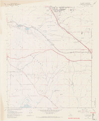
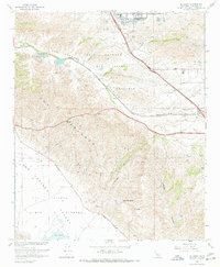
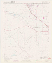
Editions of this 1967 El Casco Map
6 editions found
Other maps of this area

1899 · Redlands
USGS Topo · 1:62,500

1901 · Southern California Sheet No. 1
USGS Topo · 1:250,000

1901 · San Jacinto
USGS Topo · 1:125,000

1901 · Redlands
USGS Topo · 1:62,500

1901 · Elsinore
USGS Topo · 1:125,000

1902 · San Gorgonio
USGS Topo · 1:125,000

1904 · Southern California Sheet No. 1
USGS Topo · 1:250,000

1942 · Banning
USGS Topo · 1:62,500

1942 · Perris
USGS Topo · 1:62,500

1943 · Perris
USGS Topo · 1:62,500