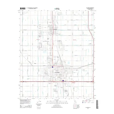
2015 Map of El Centro
USGS Topo · Published 2015About this map
El Centro and Imperial anchor this detailed study of the irrigated desert landscape in the heart of the Imperial Valley. The map reveals a sophisticated agricultural grid defined by an intricate network of waterways, including the Central Main Canal, Dogwood Canal, and Eucalyptus Canal, which transform the arid basin into a productive region. This 2015 survey shows the urban development of El Centro expanding toward the Imperial County Airport, while the smaller community of Imperial maintains its own distinct grid to the north. Between these centers, the landscape is etched with countless laterals and drains like Date Lateral Seven and Rice Drain, illustrating the critical role of water management. Researchers will also find smaller locales such as Wilsie and Anza, along with local institutions like Imperial Valley College and the Evergreen Cemetery.
Find a feature on this map
205 named features on this map. Tap any name to fly to it.
Don’t see what you’re looking for? This feature index may not catch every label — zoom into the map to look around manually.
Map Details
Editions of this 2015 El Centro Map
This is the sole edition of this map. No revisions or reprints were ever made.
Other maps of this area
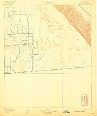
1907 · Holtville
USGS Topo · 1:125,000
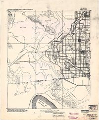
1915 · El Centro
USGS Topo · 1:125,000
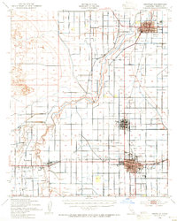
1940 · Brawley
USGS Topo · 1:62,500
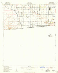
1940 · Heber
USGS Topo · 1:62,500
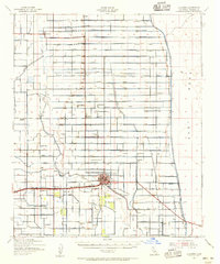
1940 · Alamorio
USGS Topo · 1:62,500
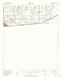
1940 · Calexico
USGS Topo · 1:62,500
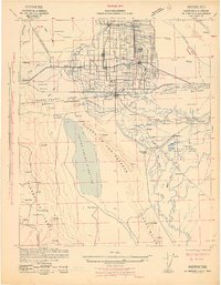
1942 · El Centro
USGS Topo · 1:250,000
1943 · Heber
USGS Topo · 1:62,500
1943 · Brawley
USGS Topo · 1:62,500
1943 · Calexico
USGS Topo · 1:62,500